

Data from the UK’s National LiDAR Programme has shown that not all Roman roads led to obvious destinations.
Reach RS3 with tilt compensation
By SS Advertiser on 1 October, 2023The Emlid Reach RS3 with IMU tilt compensation allows you to stake out faster, and easily survey hard-to-reach locations such as building corners, points on the road or at the edges of an excavation.
Drone firms partner to scale up BVLOS operations
By jnally on 27 September, 2023Carbonix and Skyports Drone Services will collaborate to boost long-range drone operations across Australia.
SmartSat CRC boosts ACT funding to $7+ million
By jnally on 27 September, 2023The OzFuel bushfire mitigation satellite instrument is one of the projects to benefit from the new investment.
The economic promise of precise positioning
By jnally on 26 September, 2023Australia’s economy will be boosted by half a billion dollars by federal investment in precise positioning.
WA spatial digital twin plan put to government
By jnally on 25 September, 2023A detailed Project Definition Plan will be considered by the state government at its December mid-year review.
Kate Lundy appointed to Geospatial Council board
By jnally on 22 September, 2023Lundy served for more than 19 years as a senator for the ACT, followed by a career in corporate leadership.
Latest Geospatial News
View all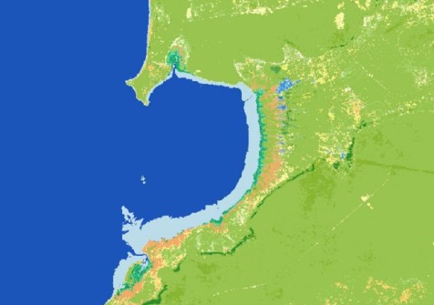
Users are now able to combine several Digital Earth Australia datasets with Google Earth Engine’s own data.
 2024-04-30
ADVERTISEMENT
Registration is now open for the World Hydrography Day Seminar, to be held in Wollongong on 21 June.
2024-04-30 
The two countries’ geodetic authorities have agreed to use the Gridded Geodetic data eXchange Format.
2024-04-29 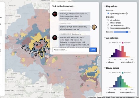
The Geospatial Commission and The Alan Turing Institute want to see if AI can support better decision-making.
2024-04-29 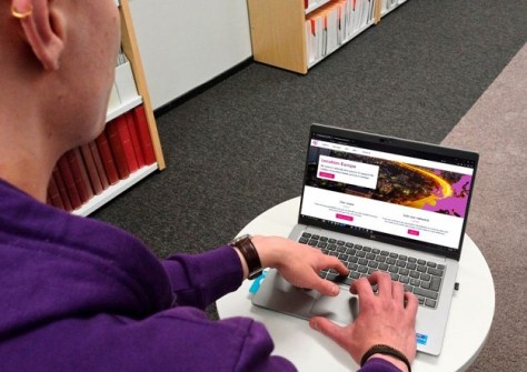
The project is providing harmonised, cross-border data for use by governments and the private sector.
2024-04-29 
Singapore has outlined key initiatives for geospatial-enabled outcomes to improve lives and solve challenges.
2024-04-26
ADVERTISEMENT
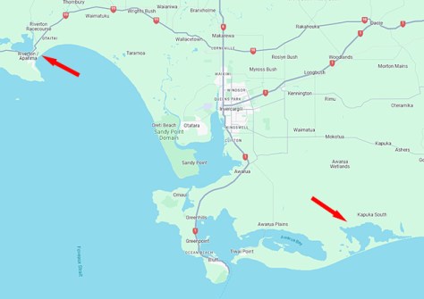
The campaign will produce detailed 3D maps of the seafloor and coastline between Riverton and Waituna Lagoon.
2024-04-24 
- Sponsored Content
Aidedo was founded based on the practical experience of CEO Aiden Tong while studying and working with many Civil Engineering and Land Surveying firms in developed countries.
2026-06-02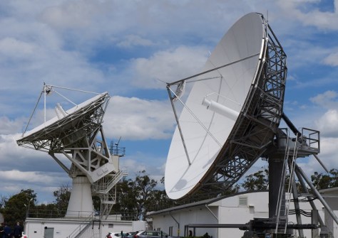
The joint Australia/NZ satellite-based augmentation system’s availability level has climbed from 95% to 99.5%.
2024-04-24 



Events
View All-
Nov 9
2026 Advancing Earth Observation Forum
 Hobart, Tasmania
-
Nov 10
SouthPAN Industry Day
Online -
Nov 13
South West and Great Southern Surveyors Conference
Mantra Bunbury Lighthouse, Bunbury, WA -
Nov 24
Locate26 Conference / 10th Digital Earth Summit
Melbourne Convention & Exhibition Centre -
Nov 30

