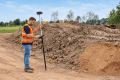
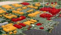
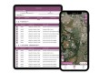
Australia needs reliable geospatial data for major infrastructure projects, urban development, environmental management, and waterway monitoring. At Locate26, CHC Navigation (CHCNAV) will demonstrate how its integrated positioning, LiDAR, UAV, mobile mapping, and hydrographic technologies capture that data efficiently and turn it into practical results across land, air, and water.
At Booth 21a, visitors can explore equipment, discuss applications with the CHCNAV team and see how connected field-to-office workflows can help reduce rework, improve data quality and make advanced surveying technology more accessible.
Precise Positioning for Everyday Surveying
Reliable positioning is fundamental to topographic surveys, construction set-out, asset mapping and earthworks. CHCNAV’s GNSS portfolio combines high-precision positioning with practical features that help surveyors maintain productivity as site conditions change.
The ViLi i100 Visual-LiDAR GNSS RTK receiver extends conventional surveying into areas where satellite signals are obstructed. By combining GNSS, LiDAR, cameras, and the SFix engine, it supports precise measurements near buildings, under vegetation, and in other challenging locations. Surveyors can capture a scene and select multiple points in an image instead of physically occupying every target, simplifying measurements in inaccessible or potentially hazardous locations. Under specified conditions, its LiDAR-supported positioning can maintain approximately 5 cm accuracy within 20 meters after GNSS signals are lost. Integrated LandStar tools also support on-site cut-and-fill volume calculations, allowing teams to check earthworks without waiting for office processing.
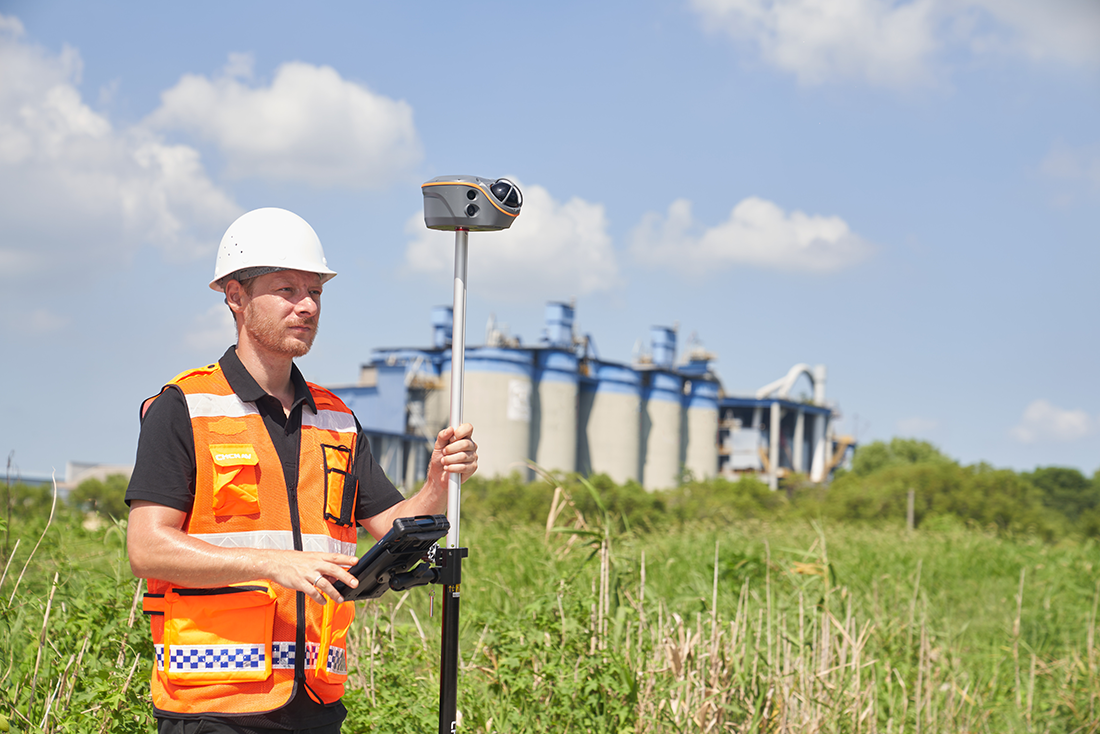
For conventional RTK surveying, the i83 offers a versatile, robust field receiver with integrated UHF, 4G, Wi-Fi and Bluetooth connectivity. Up to 34 hours of RTK rover battery life helps minimize interruptions on long field days. The compact i76 weighs only 450 g and combines IMU tilt compensation with dual cameras for visual set-out, giving surveyors a lightweight option for frequently changing sites. Both the i83 and i76 support 12d Field workflows, an important consideration for Australian teams using established survey software.
Faster 3D Reality Capture for Infrastructure and Buildings
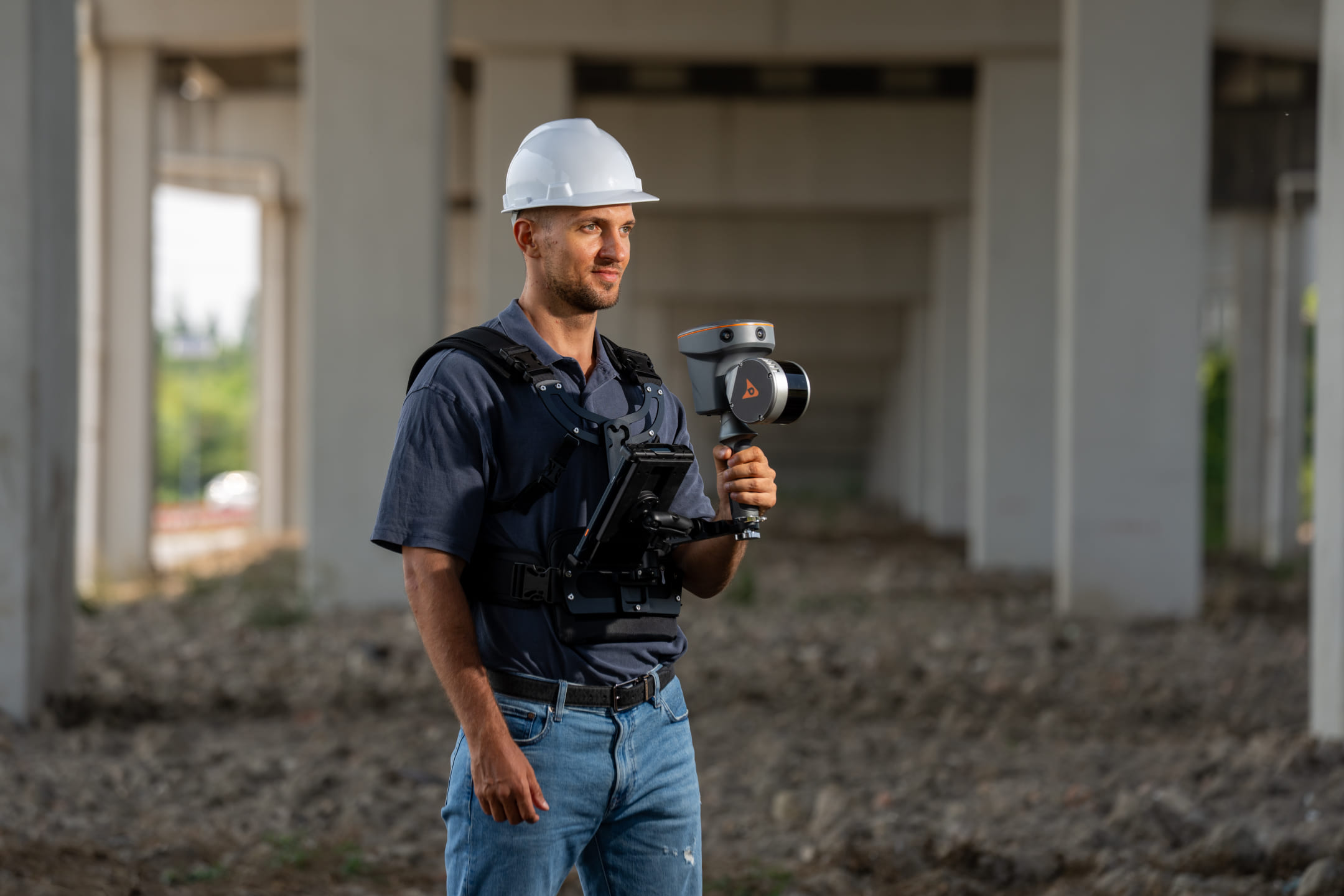
Capturing existing conditions accurately is essential for building documentation, BIM, asset management and infrastructure upgrades. CHCNAV’s handheld LiDAR scanners help teams move quickly through complex sites while collecting the point clouds and imagery needed for planning and design.
The RS7 combines professional-grade inertial navigation and SLAM to maintain stable mapping in corridors, stairwells, and spaces with limited geometric detail. Its high-density LiDAR, wide field of view, and HD imaging help teams document complete indoor environments in a single walkthrough. Support for 3D Gaussian Splatting and cloud processing provides additional ways to review and present captured spaces.
The RS10 brings GNSS RTK, laser scanning and visual SLAM into one handheld system. Designed for indoor and outdoor work, it enables georeferenced 3D capture for topographic surveys, as-built documentation, forestry, utilities and construction projects. Real-time point cloud feedback helps operators identify gaps before leaving the site, reducing the likelihood of return visits.
Aerial and Vehicle-Based Mapping for Larger Projects
Where sites are extensive, remote or difficult to access on foot, aerial surveying and mobile mapping provide practical ways to cover more ground.
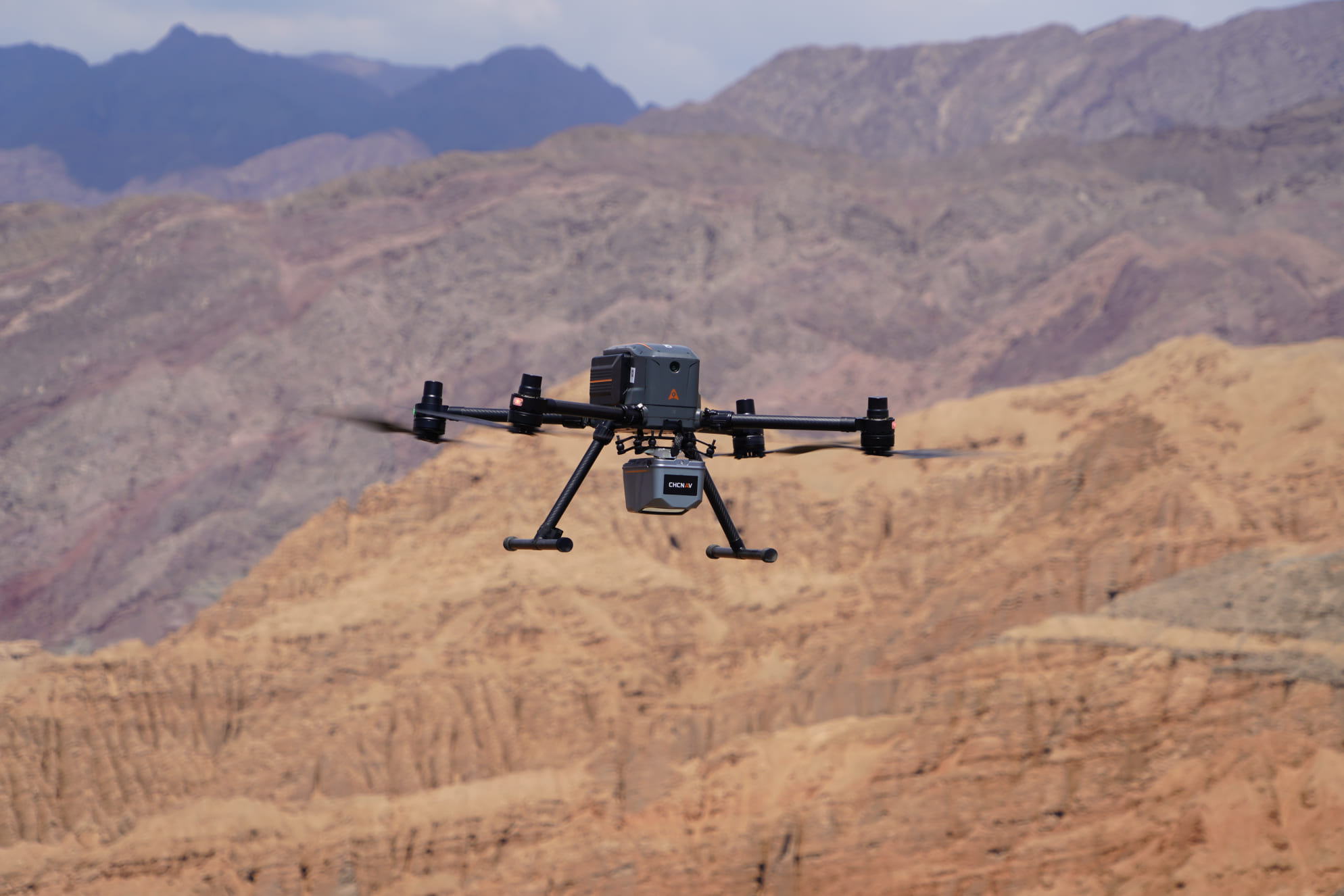
The CHCNAV X500 professional UAV supports payloads of up to 5 kg and flight times of up to 58 minutes, depending on the configuration. Its compatibility with CHCNAV and third-party sensors gives teams the flexibility to combine LiDAR and imaging payloads for terrain surveys, corridor mapping, and inspection work. Obstacle detection, redundant flight-control systems, and hot-swappable batteries help support efficient field operations.
For road corridors and urban infrastructure, the CHCNAV AU20 MMS mobile mapping system combines LiDAR, positioning, and panoramic imagery to document assets at scale. Visitors can also learn about the latest C4800 and C7200 panoramic cameras, which complement mobile mapping workflows by adding visual context to 3D point clouds.
Hydrographic Surveying for Inland and Coastal Waterways
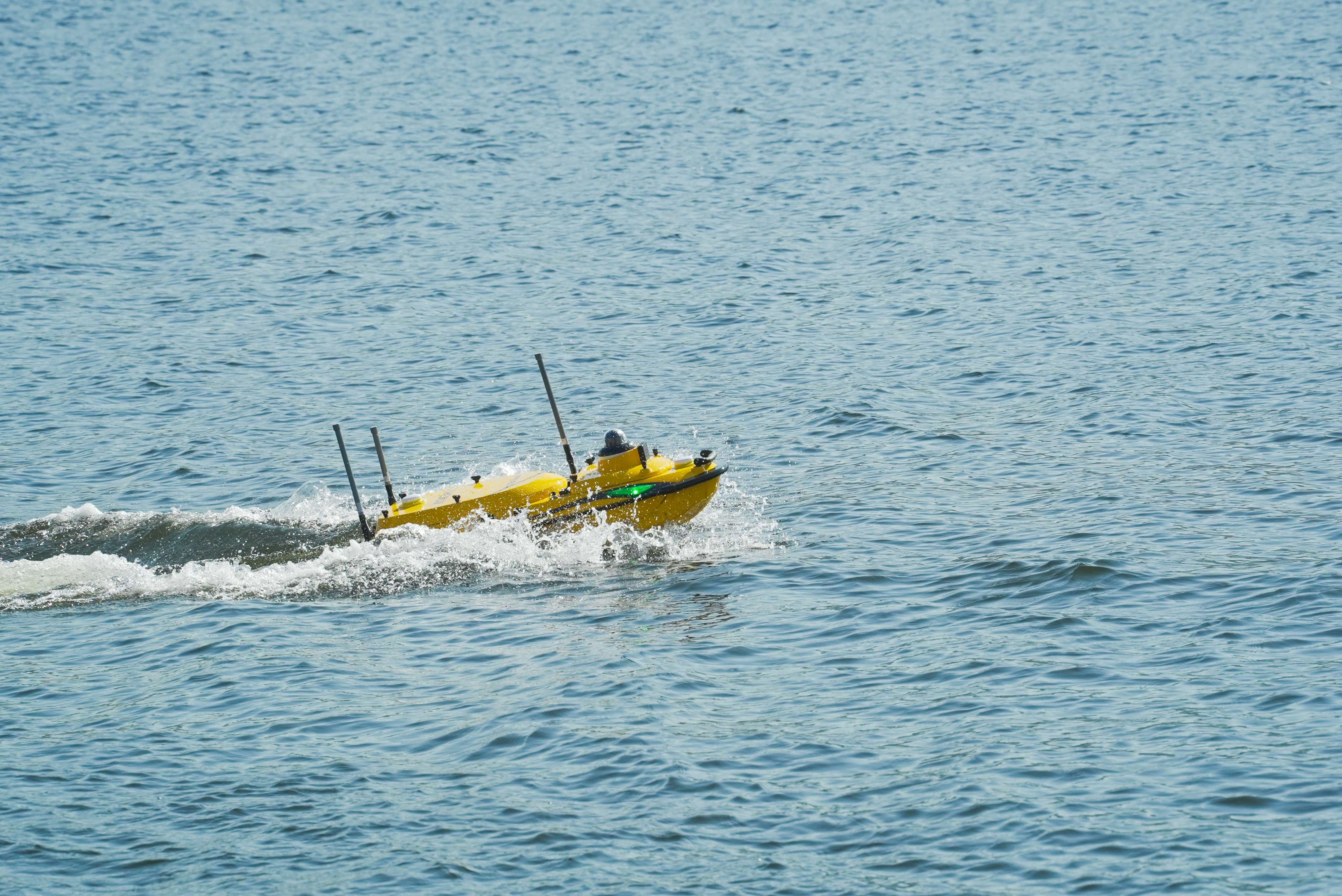
Rivers, reservoirs, ports and coastal environments require reliable depth, current and environmental information. CHCNAV’s unmanned surface vessels allow survey teams to collect this data without placing personnel aboard a survey boat for every mission.
The APACHE 4 Pro is a configurable USV for bathymetric surveys, current measurement, and environmental monitoring. It supports acoustic Doppler current profilers, echo sounders, and optional water-quality or side-scan sonar payloads. Its robust carbon-fibre structure, protective motor mesh, and anti-entanglement design help it operate in shallow water and areas with aquatic vegetation. Remote operation and planned survey routes can improve consistency while reducing exposure to difficult working conditions.
Connected Data, Practical Deliverables
The value of geospatial technology extends beyond data collection. CHCNAV combines field sensors with processing software and cloud tools to help teams transform GNSS observations, LiDAR point clouds and imagery into maps, 3D models, measurements and other deliverables that support real projects.
At Locate26, visitors can discuss the complete workflow: selecting the right field equipment, collecting accurate data, processing the results, and sharing information with clients and project stakeholders. This practical approach is particularly relevant to organizations balancing growing data requirements with tight schedules and budgets.
Visit CHCNAV at Booth 21a
Join CHC Navigation at Locate26, 24–26 November 2026, at the Melbourne Convention & Exhibition Centre. Meet our specialists at Booth 21a, explore the technologies on display and discuss solutions for your surveying, mapping, infrastructure and hydrographic projects.
Visitors can also enter our Locate26-exclusive coupon giveaway, with a total of AUD 6,000 in coupons up for grabs towards any CHC Navigation geospatial product. Stop by our booth to enter the draw. (terms and conditions apply; see our team at the booth for details).