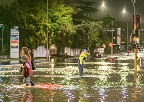
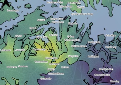
Researchers say city authorities need to shift from static flood maps to real-time dynamic models.
New national standard for engineering surveyors
The refreshed Certified Engineering Surveyor framework sets up a unified national competency standard.
Read moreLatest Geospatial News
View all
ADVERTISEMENT
The companies say the deal is intended to result in technology integration in future product offerings.
 2026-02-26
New guidelines outline expectations for the types of annual CPD activities Victorian surveyors need to undertake.
 2026-02-26
The refreshed Certified Engineering Surveyor framework sets up a unified national competency standard.
 2026-02-26
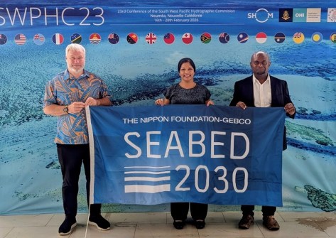
Seabed 2030 has signed a partnership with PNG, while surveying for deep sea minerals has begun in American Samoa.
 2026-02-25
This week: Geospatial jobs, industry reports, call for case studies, early bird for the ISPRS Congress and more.
 2026-02-25
ADVERTISEMENT
Thursday’s webinar will canvass advanced hyperspectral imaging technologies and their applications.
 2026-02-24
A project to make a ground-based map of gamma radiation within the city, has found normal background levels.
 2026-02-24
 Events
View All-
Mar 4
BYDA Utility Safety Conference 2026
 RACV Club Melbourne
 -
Mar 16
Association of Public Authority Surveyors (APAS) 2026 Conference
 Park Proxi Gibraltar, Bowral, NSW
 -
Mar 22
Hydrospatial 2026 Conference
 Shed 6, Wellington, New Zealand
 -
Mar 31
Geo Connect Asia 2026
 Sands Expo & Convention Centre, Singapore
 -
Apr 1
Digital Twin | BIM World 2026
 Paris, France


