The two primary technologies for mapping are photogrammetry and lidar. While lidar mapping...
About SS Advertiser
-
Mapping areas with water through photogrammetry can be a challenge. Sun reflections and...
2025-02-03
Drones used for mapping require much more than a capable pilot, drone, and...2024-11-01
Capturing large-scale areas can be time consuming, made harder because the data needs...2024-10-09
ADVERTISEMENTHosted by Eric Andelin CP, Senior Workflow Advisor, SimActive with guest speaker Gordon...2024-08-29
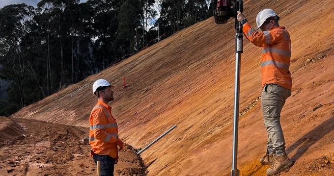
Kurloo transforms mining and civil infrastructure with precise, reliable GNSS monitoring. Our comprehensive...2024-07-02
The 12d Tech Forum 2024 – the first of its kind since 2018...2024-06-28
The 12d Tech Forum 2024 offers a fantastic opportunity for engaging in educational...2024-06-05
Until recently, photogrammetric mapping was performed with expensive aerial mapping cameras pointed directly...2024-06-04
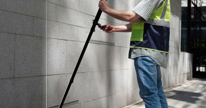
Demand for fast and efficient terrestrial data collection is growing across the industries,...2024-05-01
A recent Federal Government study by Deloitte Access Economics highlighted the immense economic...2024-04-15
The Geospatial Council of Australia is thrilled to announce the launch of the...2024-04-01
New technology means that governments and surveyors can leverage reliable and cost-effective continuous...2024-03-06
The Geospatial Council of Australia are thrilled to announce that the first release...2024-03-01
Optimization of workflows and processing speed often lead to the discussion of cloud...2024-02-02
Registrations for the upcoming Locate24 conference are officially open! The Locate24 Conference, scheduled...2024-02-01
Join Eric Andelin, Senior Workflow Specialist and Bill Johnson, Certified Photogrammetrist and Certified...2023-11-15
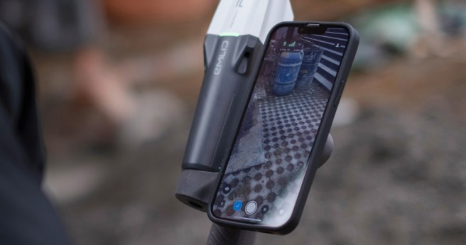
The Emlid Reach RS3 with IMU tilt compensation allows you to stake out...2023-10-01
Drones with precise positioning, such as RTK/PPK, are becoming common with those using...2023-07-05
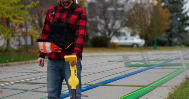
Mapping underground utilities such as water, gas, electricity, and telecommunications networks has been...2023-04-01
Newsletter
Sign up now to stay up to date about all the news from Spatial Source. You will get a newsletter every week with the latest news.
© 2025 Spatial Source. All Rights Reserved.
Powered by WordPress. Designed by


