

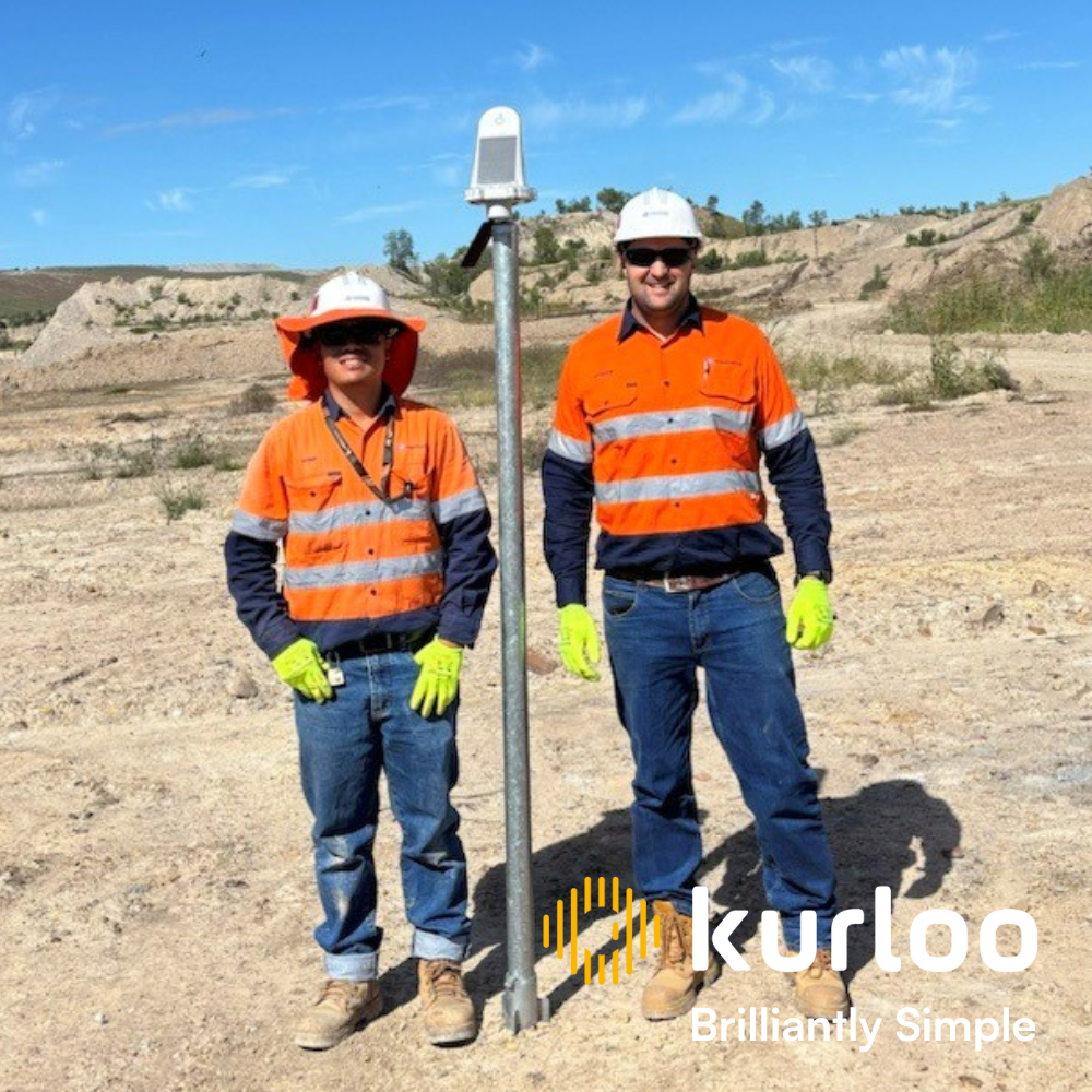
Kurloo transforms mining and civil infrastructure with precise, reliable GNSS monitoring. Our comprehensive service and advanced technology ensure top-quality performance, addressing industry challenges and improving decision-making through automation and innovation.

In the mining and civil infrastructure sectors, precision and safety are paramount. GNSS monitoring is transforming these industries by providing enhanced accuracy, efficiency, and reliability.
Current trends in GNSS monitoring indicate that the demand for millimetre-level accuracy is driving the adoption of advanced GNSS systems like Kurloo. Companies are increasingly shifting towards automation to minimise human error and labour costs. Integration with IoT, AI, and cloud computing is becoming more common, allowing for better data analysis and informed decision-making. At Kurloo, we provide a comprehensive full-service model, managing the entire process from start to finish to ensure you achieve the best return on investment.
Environmental factors such as extreme weather conditions, remote locations, and compromised land stability mean there are significant challenges. Additionally, managing and processing large volumes of GNSS data can be complex and time consuming if you do not have the required skills to manage it. Regulatory compliance also remains a hurdle for many companies looking to implement these solutions.
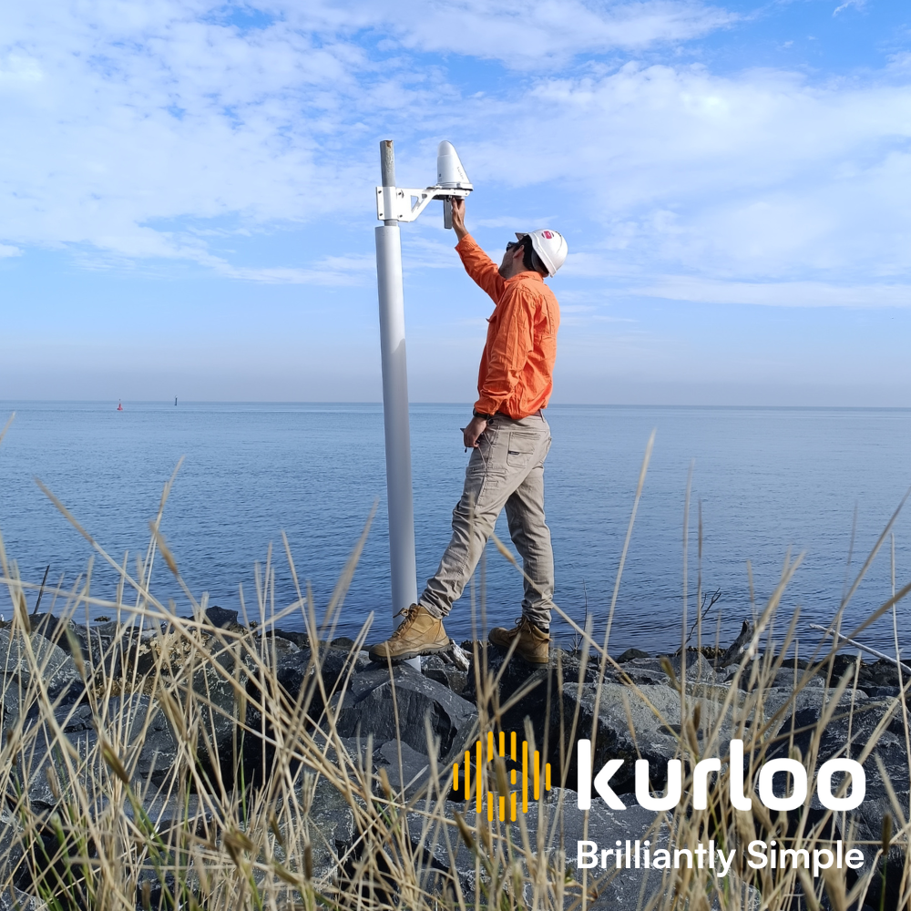
Kurloo offers best-in-class features and functionality. With recent advancements in GNSS receivers and antennas improving accuracy and reliability, Kurloo ensures that innovation remains a key factor in delivering top-quality service. Post-processing techniques allow for immediate, actionable insights. Innovations in solar power and energy-efficient designs are extending the operational life of GNSS devices.
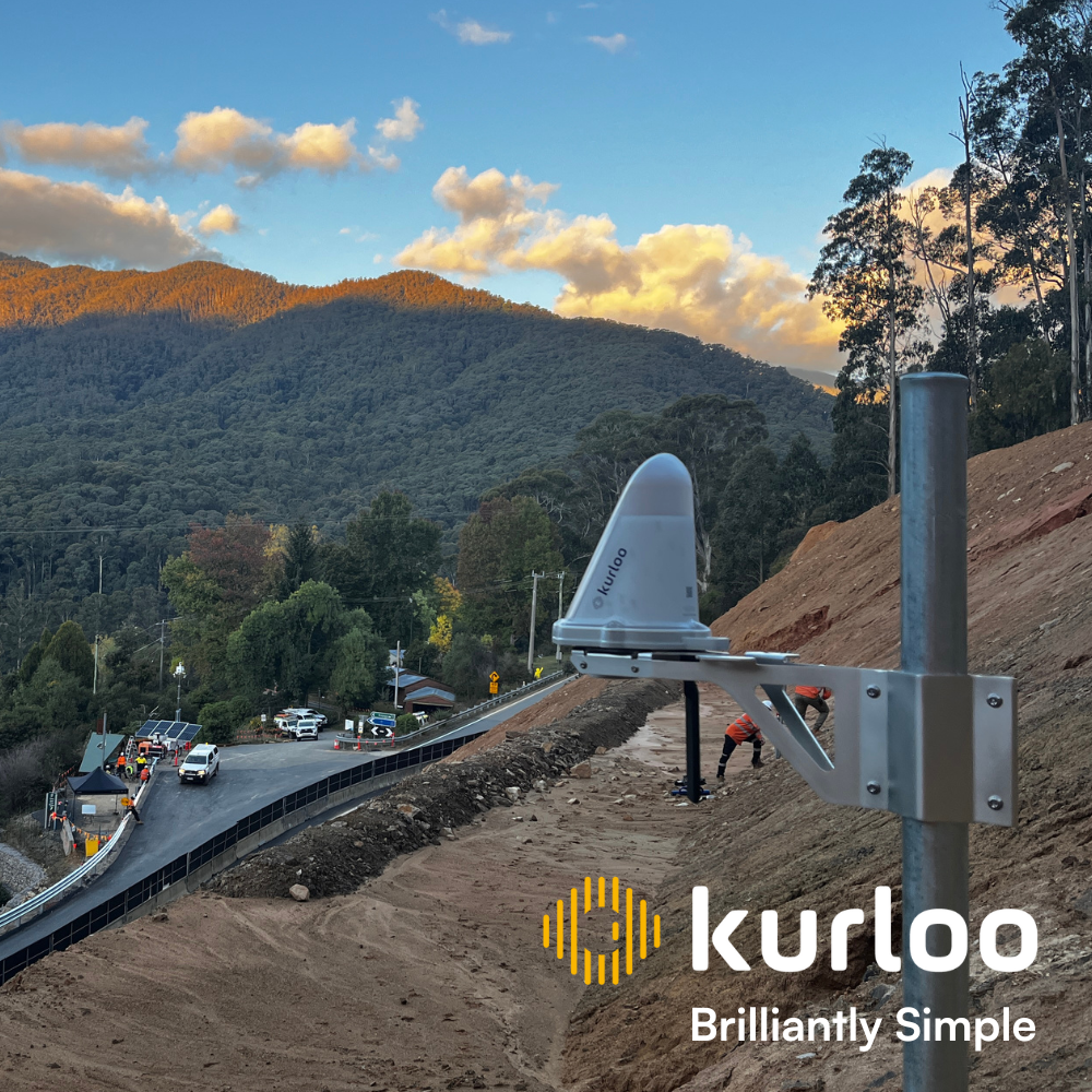
Kurloo is at the forefront of this technological revolution. Our commitment to pioneering autonomous monitoring solutions is evident in our cutting-edge technology. Real-world applications, such as monitoring slope stability and reducing risk during extreme weather events, showcase Kurloo’s impact. As a Principal Geotechnical Engineer noted, “Kurloo’s monitoring confirms slope stability, reducing risk during extreme weather events.” This demonstrates the trust and reliability Kurloo has earned among geotechnical engineers and our business partners. Kurloo’s innovative solutions ensure accuracy, efficiency, and safety, making us a leader in this field. If you’d like to know more or set up a time to meet, please visit https://www.kurloo.io/contact/
Kurloo Technology Pty Ltd
Level 2, Suite B, 11 Finchley Street
Milton 4046 Queensland Australia
sales@kurloo.io
+61 431 439 533


