

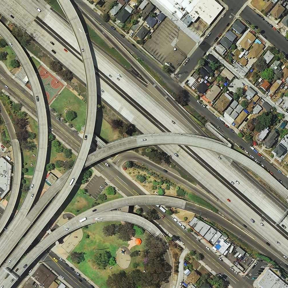
Larger format cameras capture a larger footprint per image, and fewer images can certainly speed up the mapping process both in terms of acquisition and processing time. But does this make them better for mapping? Other factors that play a role in choosing cameras include camera body material, lens quality, resolution, file size, and format. Some manufacturers are even merging multiple smaller cameras to create one large camera such as the Phase One 280MP Aerial System.
Merging smaller format cameras to create a single larger format sensor may offer the best of both worlds as smaller cameras tend to be much less expensive than large format mapping cameras. How are these multi-camera systems treated when setting up projects for processing in photogrammetry software such as Correlator3D?
Click here and watch the workshop recording of “Are Larger Format Cameras Better for Mapping?”.
During the workshop, David Alamillo, photogrammetry specialist with SimActive joins host Eric Andelin CP, Senior Workflow Advisor, to discuss the benefits of all camera types and the challenges associated with each as well as, how they affect processing in photogrammetry software such as Correlator3D.
Specifically, you will learn about the following:
- Different camera formats & footprints
- Benefits of larger format sensors
- Effects on resolution and quality
- Considerations during processing to ensure success


