The Australian Geospatial-Intelligence Organisation (AGO) is seeking applicants for its Foundation Geospatial Trainee Program.
The Program is a 12-month competency-based training course in which participants undertake workplace experience and obtain a tertiary qualification at the AGO’s Bendigo training facility.
Trainees will be in full-time paid employment as an APS level 3 Geospatial Analyst during training and will be guaranteed employment as an APS level 4 Geospatial Analyst on successful completion of the program.
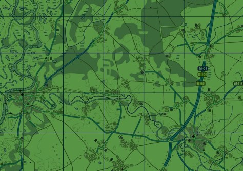
The work of the AGO Foundation Geospatial Branch in Bendigo entails the collection, production, management and dissemination of imagery and geospatial information to describe, assess and visually depict physical features and geographically referenced activities in the air and land domains.
It includes cartography, photogrammetry, data acquisition, data management and data dissemination through web services, as well as emerging technologies such as AI and machine learning.
Applicants will:
- Have a minimum commencement salary (after March 2025) of $69,898 plus 15.4% superannuation;
- Upon successful completion of the program, be offered a guaranteed APS level 4 position and minimum salary of $76,277 plus 15.4% superannuation;
- Receive a nationally recognised qualification;
- Have the opportunity to work on real-world projects using leading-edge technology in a range of geospatial disciplines; and
- Have opportunities for career progression.
Full details, including eligibility criteria and information about the application process can be found on the Department of Defence’s careers website.


