Organisations are working with growing volumes of operational data, imagery, sensor information and field activity. AI is increasingly part of how they analyse that information, identify patterns and support faster decisions.
For leaders, the challenge is no longer simply whether to adopt AI. It is how to apply and scale it responsibly, with the governance, transparency and accountability needed to build confidence while delivering measurable business value.
But AI is only one part of a connected operational picture.
For organisations responsible for assets, infrastructure, networks, services and communities, decisions depend not only on understanding what is happening, but where it is happening, why it matters and what action should follow.
This is where geospatial context, and the capabilities that capture, connect and act on it—can help move AI from experimentation towards practical, operational value.
From AI insight to real-world action
AI can help organisations analyse information, identify patterns and surface insights. But an insight becomes much more useful when it can be connected to the real-world environment in which a decision needs to be made.
Geospatial context provides that connection.
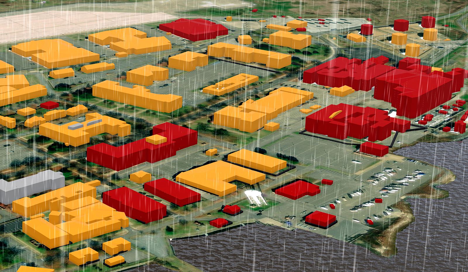
Within ArcGIS, AI can be applied alongside the operational and location data organisations already use across maps, dashboards, applications and workflows. This helps connect AI-supported analysis to assets, places, networks, customers and operational risks.
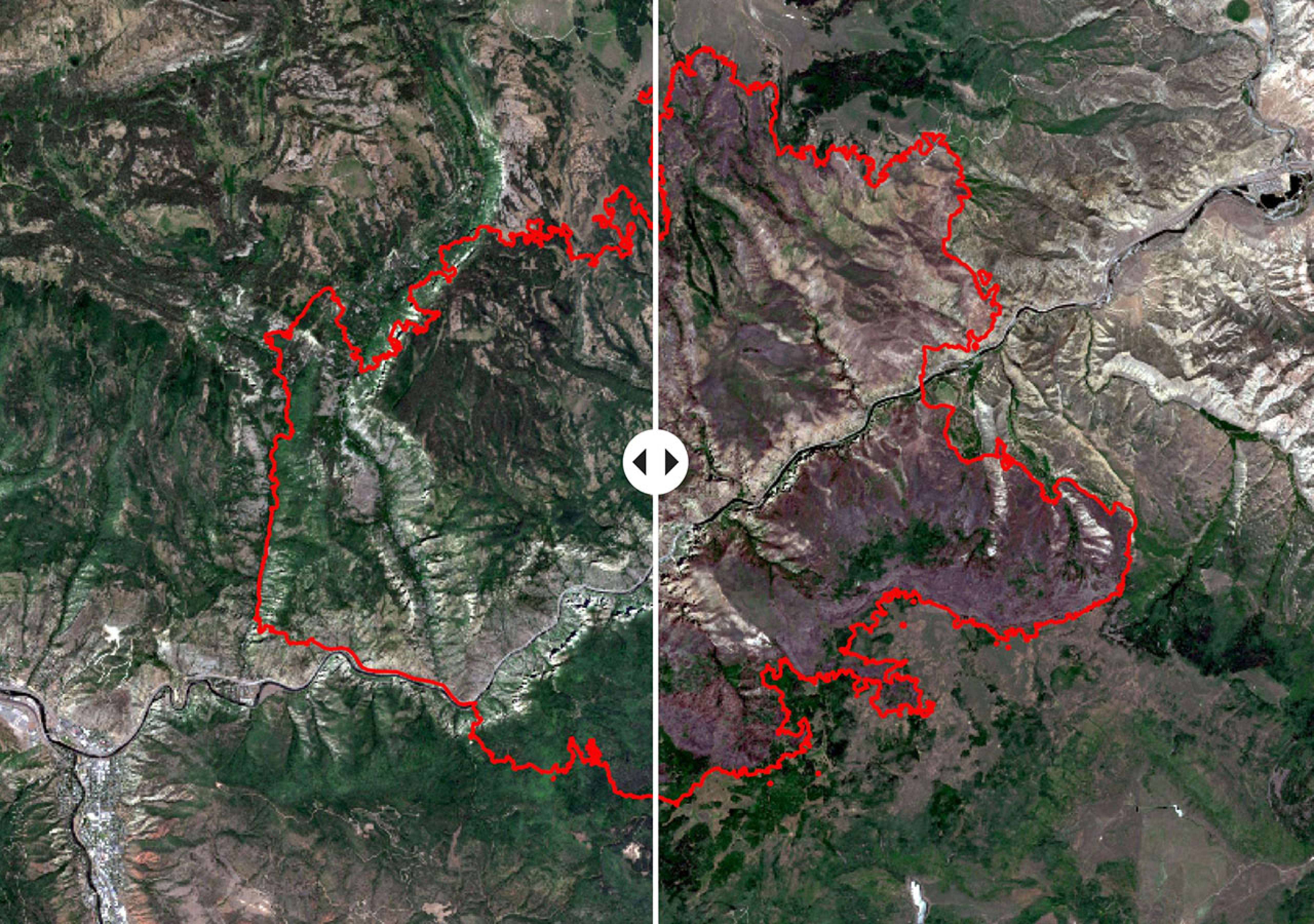
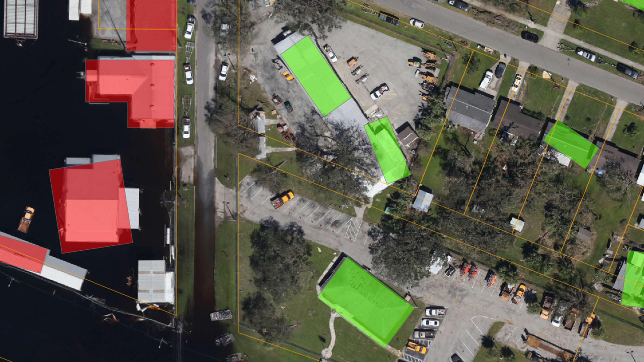
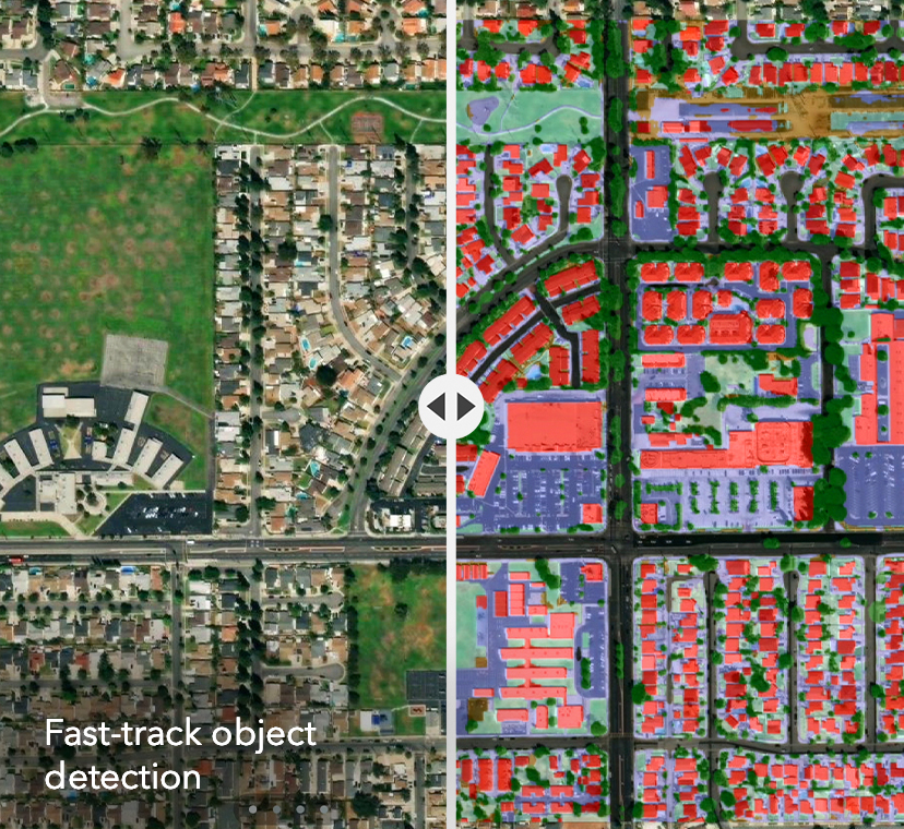
For example, an organisation could use imagery and AI to identify changing conditions, real-time data to monitor emerging risk, location intelligence to understand the assets and communities affected, and field applications to direct and capture the response. The value comes not from AI alone, but from connecting insight to an operational workflow.
Geospatial AI can take different forms – from tools and models that detect patterns or predict change, to assistants that help people find, analyse and communicate information, and emerging agentic capabilities that support more complex workflows. Across each, trusted data, governance and fit-for-purpose enterprise architecture remain essential.
Instead of looking at AI as a standalone capability, organisations can therefore ask a more useful question: Where can AI improve an existing decision or workflow, and how will we know it has created value?
That shift becomes particularly important as organisations look beyond pilots towards wider adoption.
Five questions to ask before scaling AI
Before scaling an AI use case, leaders should consider five areas.
- Is AI grounded in geospatial and operational context?
AI outputs need to connect to the decisions an organisation actually makes.
For organisations operating across physical assets, infrastructure, networks or communities, location can provide essential context for understanding where an issue or opportunity exists and what may need to happen next.
Leaders should be able to see where AI is being applied, what geospatial and operational data it uses and how its outputs relate to real-world assets, infrastructure, services or risks.
- Can AI-supported insights be explained and reviewed?
Responsible AI depends on confidence.
Teams need to understand and review AI-supported insights before they influence decisions, particularly where those decisions may have financial, operational, safety or community impacts.
In a geospatial environment, that includes understanding the data, assumptions and spatial conditions that have informed an output, as well as where appropriate human oversight is required.
- Is governance built in from the start?
AI becomes harder to manage when adoption moves faster than governance.
Before scaling AI, organisations need clear controls around data access and use, accountability, privacy, security, validation and human oversight.
For geospatial AI, this also means understanding which operational and geospatial datasets AI can access, who can use them and how outputs are reviewed before they influence operational decisions.
- Does AI make existing workflows easier?
The value of AI should not be measured by introducing another tool or process.
Its value is greater when it helps make existing work faster, clearer or easier.
For executives, that can mean clearer evidence to support decision-making. For GIS, data and operational teams, it could mean less manual analysis, faster identification of patterns and easier prioritisation. For field and service teams, it can mean insights that can be mapped, shared and acted on through familiar workflows.
Applied within ArcGIS, AI can also make geospatial capabilities more accessible to non-specialists while helping expert teams move more efficiently from analysis towards action.
- Can the value be measured?
Ultimately, AI investment needs to be connected to outcomes leaders can demonstrate.
Success should not be measured by experimentation or adoption alone. Organisations need to understand whether AI is improving decisions, reducing effort, managing risk or increasing efficiency.
Within a geospatial operating environment, that value might be seen through faster spatial analysis, improved asset and network prioritisation, greater visibility of risk, more efficient field response, clearer service planning or stronger evidence for investment decisions.
The question therefore becomes not simply, “Can we use AI?” but “What decision, workflow or operational outcome will it improve, and how will we measure that improvement?”
Moving from responsible AI to operational value
Responsible AI provides an important foundation for trust, but governance alone does not create value.
The opportunity is to bring responsible AI together with the operational and geospatial context needed to apply it to real-world decisions.
When AI is grounded in relevant data and geospatial context, supported by appropriate governance, incorporated into the workflows people use and connected to measurable outcomes, organisations are better positioned to move beyond experimentation towards practical operational value.
The goal is not simply more AI.
It is AI that helps people make faster, clearer and more confident decisions about the places, assets, infrastructure, networks and services they manage.
Continue the conversation at Locate26
Moving from AI experimentation to practical, operational value requires organisations to consider both the opportunity and their readiness to act.
At the Esri Australia workshop at Locate26, participants will explore Geospatial AI in action, the foundations needed to apply it responsibly and where it can create measurable value.
Visit the Esri Australia booth to see how imagery, field operations, real-time awareness, enterprise GIS and AI can work together to support connected operational decision-making—and discuss what that could look like for your organisation.
https://esriaustralia.com.au/solutions/capabilities/geospatial-ai