


The Location Europe platform is an international project that aims to integrate both location-based and non-location-based data from countries across the continent, with the aim of providing harmonised, cross-border information for use by governments and the private sector.
Finland, through the National Land Survey (NLS) of Finland’s Geospatial Research Institute, has been at the forefront in developing the project, which will make it possible to combine datasets from various countries and make the data easier to access.
For example, it currently contains 3Ddata on buildings and average temperatures in five different countries.
“Visualised, three-dimensional data may be helpful for municipal decision-makers to perceive what a new building might look like or how it might affect its environment, for example. This way, it will be possible to design more functional, smarter cities,” said NLS project manager Antti Jakobsson.
The combination of data from different countries gives businesses the opportunity to scale up services across the European market, especially within nations that have long, common borders and whose citizens travel flexibly between countries.
“The platform is an excellent tool for a situation in which you want to analyse your environment in a three-dimensional fashion. Let’s take a solar energy business — with this, they will be able to assess the buildings’ solar energy potential in different countries. If this data was available for all of Europe, this service could have enormous business potential,” said Jakobsson.
The potential of the platform has already been recognised, with the Finnish Innovation Fund Sitra highlighting it on its list of most interesting data economy solutions.
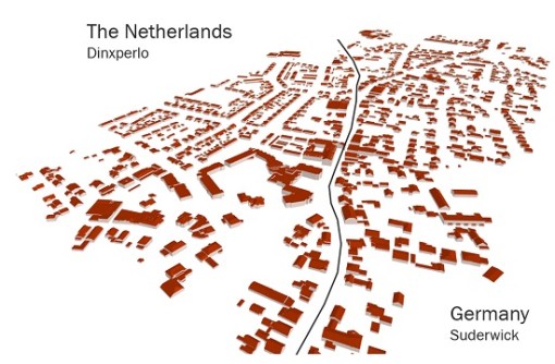
In addition to Finland, Estonia, the Netherlands, Norway and Spain have participated in the development of the platform, which began under the EU-funded GeoE3 project.
“During that collaboration, we were able to build a tool that combines large datasets in real time, in a format that is easier to understand than before. Nobody else in Europe had done this before. We are proud that it’s us Finns who are leading the way in developing more effective use of geospatial data in Europe,” said Jakobsson.
Currently the platform is under the stewardship of the NLS Geospatial Research Institute’s Location Innovation Hub, and is available for companies to put to the test.
Location Europe also supports European data spaces, which are currently under development.
“The EU Regulation on High Value Datasets, which enters into force in June 2024, requires that all high value datasets that have been determined as such by EU member states — such as geospatial data — must be available free of charge through application interfaces. We will be able to help implement the Regulation, as these datasets can be exposed through the Location Europe platform,” said Jakobsson.


