

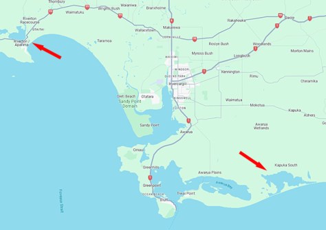
Toitū Te Whenua Land Information New Zealand (LINZ) is currently conducting a two-week-long aerial LiDAR mapping campaign along the south coast of the North Island, between Riverton and Waituna Lagoon near Invercargill.
The purpose of the campaign is to gather data to produce detailed 3D maps of the seafloor (up to 20 metres depth) and the shoreline along the coastal zone.
“The coastal area we are covering in Southland is perfect as it includes a variety of sea conditions that will challenge our methods and tell us how successful our data collection is for future mapping projects,” said Bradley Cooper, LINZ Senior Geospatial Specialist and project lead.
“The data collected will be used to help understand the coastal zone in this area, and can be used for tsunami and inundation modelling, as well as to understand marine habitats.”
Fugro is undertaking the work on behalf of LINZ.
Data gathered from the survey will be made freely available later in the year through the online LINZ Data Service.


