The campaign will produce detailed 3D maps of the seafloor and coastline between...
LiDAR
-
The City of Sydney has set targets to grow a cooler, more diverse,...
2024-04-01
The IRIDESENSE 3D multispectral LiDAR sensor can analysing plant health and soil humidity...2024-03-20
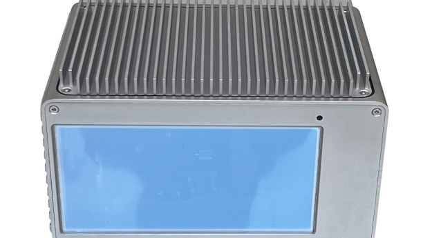
The Brumby LiDAR rapidly produces point clouds by removing the typically arduous post-processing...2024-02-26
ADVERTISEMENTData from the UK’s National LiDAR Programme has shown that not all Roman...2023-10-03
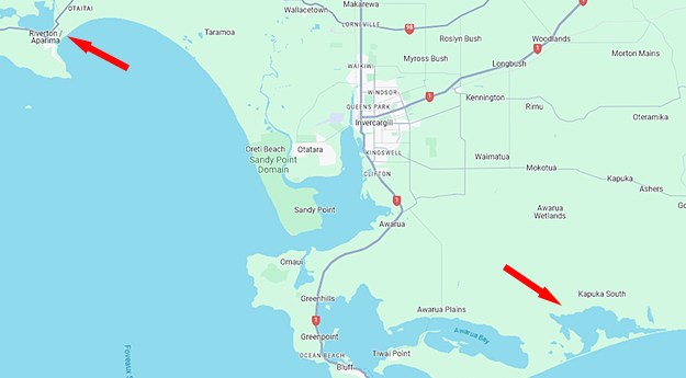
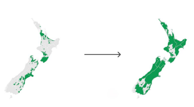
The release of 3D mapping data for Waikato and Southland means more than...2023-08-15
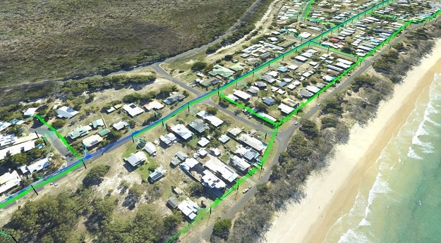
The solution will use LiDAR and aerial data capture report powerline conductor ground...2023-08-04
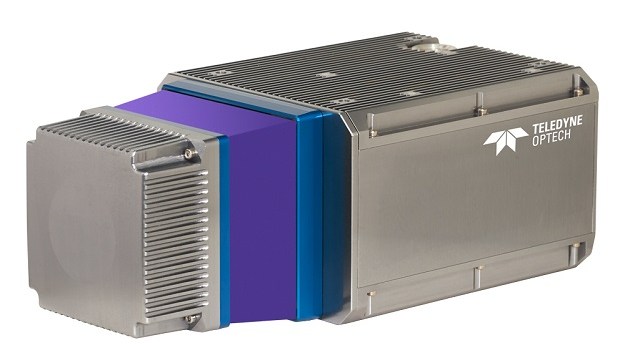
Teledyne Geospatial CL-360 marine LiDAR sensor that can be integrated with high-resolution multibeam...2023-07-25
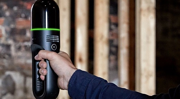
The Leica Geosystems BLK2GO handheld imaging laser scanner is making ‘impossible’ jobs a...2023-06-12
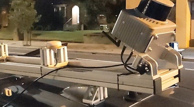
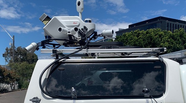
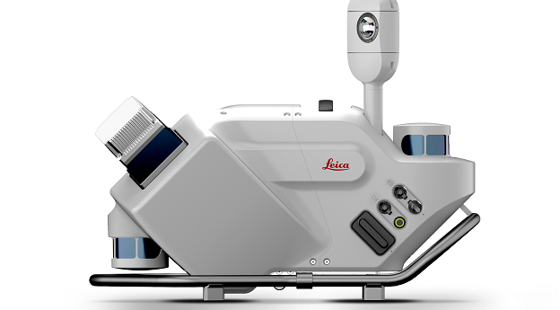
The Leica Geosystems Pegasus TRK vehicle-mounted scanner is making surveying safer and more...2023-04-24
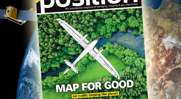
The Apr/May2023 issue of Position magazine is out now, packed full of all...2023-04-13
In our annual Leaders Forum, we ask experts to look ahead into 2023....2023-02-01
In our annual Leaders Forum, we ask experts to look ahead into 2023....2023-01-23
A ground-breaking aerial LiDAR survey has produced a wealth of valuable land-surface and...2023-01-16
In our Leaders Forum, we ask experts to look ahead into 2023. Today...2023-01-11
SiteScape enables LiDAR-equipped mobile devices to capture indoor spaces, especially in the AEC...2022-12-02
Airborne LiDAR and high-resolution aerial images will boost ground-based forest carbon estimation analyses.2022-10-11
The companies will conduct bathymetric LiDAR surveys for the HydroScheme Industry Partnership Program.2022-09-01
The Leica Pegasus TRK Neo is a complete, high-level mobile mapping solution that’s...2022-08-22
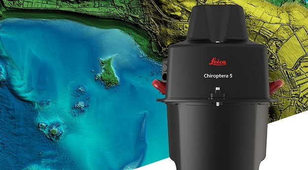
The Leica Geosystems Chiroptera-5 combines airborne bathymetric and topographic LiDAR sensors with a...2022-08-05
Newsletter
Sign up now to stay up to date about all the news from Spatial Source. You will get a newsletter every week with the latest news.
The geospatial sector is set to both underpin the metaverse ...The 10-year project aims to improve infrastructure delivery,...March 21 is the day on which we celebrate the essential work...UAV users can now easily see whether they need to obtain aut...SimActive has announced improved cloud environment enhanceme...© 2024 Spatial Source. All Rights Reserved.
Powered by WordPress. Designed by


