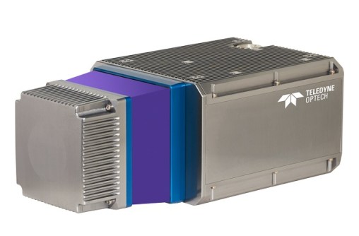
The Teledyne Geospatial CL-360 for marine applications is a LiDAR sensor that can be seamlessly integrated with high-resolution multibeam systems and the CARIS Ping-To-Chart workflow, enabling full above- and below-water image capture with survey grade accuracy in a single workflow.
The sensor’s 360-degree scanner and up to 2 million points/second collection rate provides a suitable solution for mapping coastal infrastructure. The CL-360 is designed for use on an uncrewed surface vessel.


