March 21, Global Surveyors’ Day, is the day every year on which we celebrate the roles of, and the essential work done by, surveyors around the world.
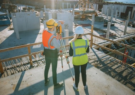
All of us in the geospatial sector know how essential surveyors and surveying are to the wider community. Surveying is a foundational profession that underpins pretty much every aspect of the modern world. No road is laid, no school is built and no endangered forest is mapped, without surveying and surveyors.
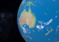
As is well known, Australia desperately needs more surveyors. At Spatial Source, we like to think that we’re playing our part in solving this challenge by highlighting the remarkable work done by Australian surveyors, surveying companies and government agencies.
And so to celebrate Global Surveyors’ Day, we invite you to catch up with some of the articles we’ve published in recent months that highlight the essential work surveyors do across Australia and around the world.
Testing SouthPAN and commercial GNSS services — UNSW surveying students were challenged to put a range of SouthPAN devices and services through their paces.
3.25m parcels updated in Vicmap Spatial Upgrade — More than 50% of municipalities across Victoria have been fully integrated into the Spatial Upgrade.
Ginan version 3 open-source toolkit released — The free Ginan open-source toolkit helps determine precise point positioning with cm-level accuracy based on GNSS observations.
My memories of metrication in surveying — Tony Proust looks back half a century to 1974, when surveying went metric across Australia.
International Women’s Day 2024 — To celebrate IWD 2024, we spoke with five geospatial professionals from around the country.
Bathymetric survey of the wreck of the SS Nemesis — An investigation by CSIRO has helped identify the wreck of a steamship that disappeared in 1904.
Finland boosts geoid model accuracy by 30% — The new FIN2023N2000 model improves accuracy from 2 cm to 1.4 cm, benefiting many societal sectors.
US$20m to help modernise the US geospatial system — Four US research organisations have been awarded a total of up to US$20 million as part of the Geospatial Modeling Grant competition.
New forum for Queensland women in surveying — The Department of Resources initiative aims to attract and retain more women into the state’s surveying sector.
3D Cadastral Survey Data Model project on track — The project will deliver a standard specification for exchanging Australian and New Zealand cadastral survey data.
Bathymetry, remote sensing probe deep ocean — The voyage aboard the RV Investigator surveyed 20,000 square kilometres to a depth of 4,000 metres.
This is just a small selection of the many surveying articles we have published over the past few months — you can find plenty more surveying specific articles here, and general geospatial articles here.
Please be sure to regularly check SpatialSource.com.au for daily updates of interest to everyone in Australia’s geospatial sector. And if you haven’t done so already, don’t forget to subscribe to our free e-newsletter, sent out every Wednesday, so that you’ll never miss any news.