

It is now 50 years since surveying went metric in Australia. Tony Proust looks back to what things were like in 1974.
By Tony Proust
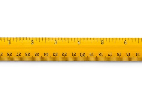
I completed my surveying studies in Perth in 1974 just as metrication came in. Consequently, for the duration of my career as a surveyor, the standard conversion factors — 0.201168 for the conversion of links to metres and 0.3048 feet to metres — were indelibly imprinted in my head. We all knew by heart that the standard offset distance for a buried reference mark — 1 foot 6 inches — was 0.45m. This would be the case for a whole generation of surveyors.
Thankfully I began my career along with the development of the first handheld programable calculators. My first such device was the HP25, which had a 50-step programable capacity. My colleagues and I rapidly developed, or swapped, programs to do the various calculations we needed on a daily basis — double missing distance, double missing bearings, traverse close, area calcs etc — each using only 50 steps.
The test program in the HP manual revealed the genesis of the calculator. Imagine you are in a lunar lander spacecraft and about to land on the moon. You had ‘x’ units of fuel left to power your retro rockets during descent to the lunar surface, and you had to slow your speed to ‘y’ metres per second so that you could land without crashing. It was one of the first computer games. With only two variables, we all learnt how to beat the computer after a couple of attempts.
For the first eight years of my career, I was an engineering surveyor on large engineering projects were everything was in metres — easy peasy. But once I gained my registration in 1983, I had to deal with thousands of old survey plans that were in either links or feet. I quickly learnt to distinguish between them by the road widths — 100 links or 66 feet wide. It was a rule of thumb which rarely failed, as the simplest rules are the best. And for the rest of my surveying career, until I handed in my registration in 2017, I was converting links and feet into metres. Even as a town planner those skills came in handy.
Metrication was one of the smartest changes we ever made, along with decimalisation of our currency in 1966. Consider the tale of NASA losing a spacecraft due to a metric maths mistake. In 1999, after 10 months travel to Mars, the Mars Climate Orbiter burned and disintegrated into pieces. On a day when NASA engineers had expected to celebrate mission success, the reality was very different… and all because someone failed to use the correct (metric) units of measurement. It turns out that NASA was using metric units of measurement while the contractor who built the spacecraft was using Imperial — inches, feet and pounds. Can you believe it? By failing to successfully convert from one to the other, the spacecraft was ‘lost in translation’.
These days the United Kingdon has a contradictory approach to metrication. Most of government, industry, commerce and scientific research use the metric system, but Imperial units are used for journey distances, vehicle speeds and some other measurements. How weird is that? And in the United States, despite a number of feeble attempts by government to convert the country to the metric system, they never have and probably never will.
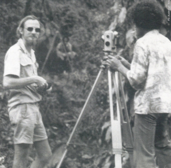
One of my colleagues, Mitchel Hanlon, recently told me a story of when he first used a particular EDM, a HP3820A, more than 30 years ago. He soon realised the distances he measured, while correct within themselves, were in fact wrong and he could not understand why. Then, looking closely at the switches on the instrument he discovered the one that toggled between ‘ft’ and ‘m’. All his measurements were in feet, not metres. Once he flicked the switch to ‘m’ everything went smoothly. The boss never found out, but the chainman probably thought it was hilarious.
In the early days of metrication, I do recall hearing of older surveyors who continued to measure in feet, sometimes decimal feet, only to convert the job to metres at the plan drawing stage. Change can be difficult. Nevertheless, going metric probably resulted in one of the single greatest leaps in productivity the land development industry has ever seen, before or since.
Do you have an interesting surveying tale to tell of the year Australia went fully metric? Please contact the editor at jnally@intermedia.com.au.
This article was first published in Issue 129 (Feb/Mar 2024) of Position magazine. Please consider subscribing.


