

An Australian and international research voyage has used bathymetric seafloor mapping, satellite remote sensing and ocean current analysis to reveal more secrets of the Southern Ocean.
The FOCUS voyage aboard CSIRO research vessel (RV) Investigator surveyed 20,000 square kilometres in high-resolution, three-dimensional detail down to the seafloor as much as 4,000 metres below.
The aim of the voyage was to gather data within the Antarctic Circumpolar Current in order to understand how heat leaking across that natural barrier contributes to the melting of Antarctic ice shelves and the potential for sea-level rise.
Voyage chief scientist Dr Benoit Legresy said the CSIRO and the Australian Antarctic Program Partnership worked with collaborators from the US and France, and made use of the Surface Water and Ocean Topography (SWOT) satellite, jointly developed by NASA and the French space agency CNES.
“The ocean has absorbed more than 90 per cent of heat due to global warming and around 25 per cent of human CO2 emissions, providing an enormous service as a ‘climate shock absorber’,” Dr Legresy said.
“Knowing how to deal with human-induced climate change brings an urgency to tracking down the heat and carbon pathways in the global climate system.
“We’ve been working in a gateway where heat is funnelled towards Antarctica, contributing to ice melt and sea level rise. We need to understand how this gate works, how much heat gets through and how this may change in the future.”
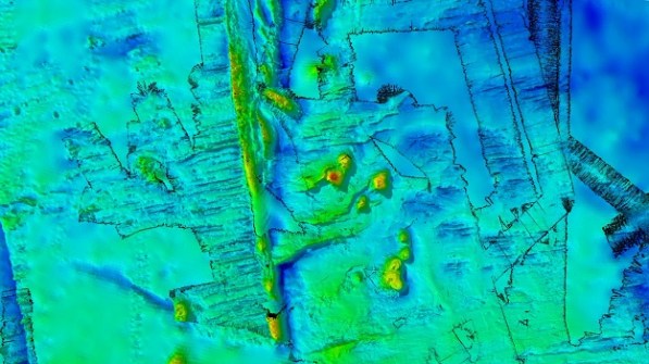
While mapping the ocean currents, the companion mapping of the sea floor using bathymetry has revealed ancient dormant underwater volcanoes.
CSIRO geophysicist Dr Chris Yule said the team conducted high-resolution mapping with RV Investigator’s multibeam echosounder system. The survey spanned a seafloor area of 20,000 square kilometres, most of which hadn’t been mapped before.
“To our delight, we’ve discovered a spectacular chain of ancient seamounts, comprising eight long-dormant volcanoes with peaks up to 1,500 metres high and one with a double vent,” Dr Yule said.
“Four of them are new discoveries, and we filled in details on two seamounts and a fault line ridge partially mapped on a previous voyage. We now know the ridge, just west of the survey area, drops into a valley over a 1,600-metre-high cliff.”
“Knowledge of the depth and shape of the sea floor is crucial for us to quantify the influence of undersea mountains, hills and valleys on the Antarctic Circumpolar Current and the leaking of heat toward Antarctica,” added voyage co-chief scientist Dr Helen Phillips, from the Australian Antarctic Program Partnership at the University of Tasmania.


