Read about Australia’s PNT weaknesses, women in geospatial, putting maps in context, May’s...
bathymetry
-
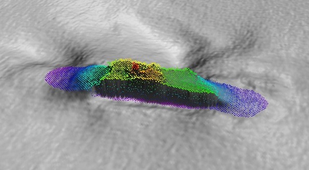
A 120-year-old mystery has been solved following the discovery of the wreck of...
2024-02-26
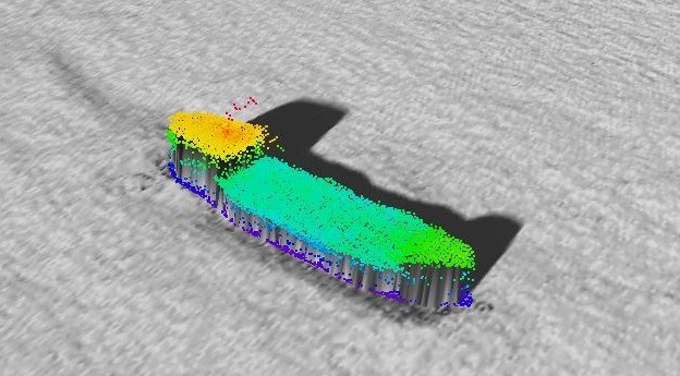
A CSIRO project team has used bathymetry to confirm the location of the...2023-12-29
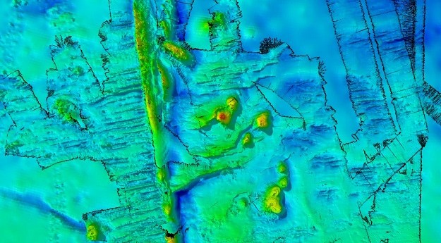
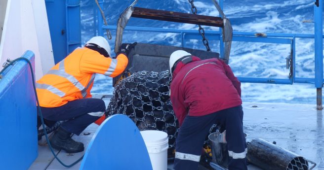
The voyage aboard the RV Investigator surveyed 20,000 square kilometres to a depth...2023-12-20
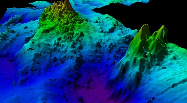
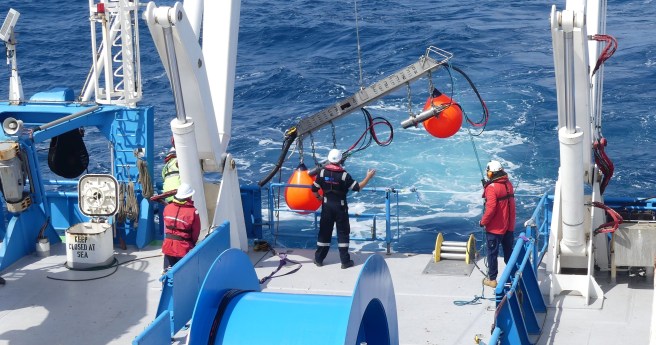
ADVERTISEMENTCSIRO has released results of RV Investigator bathymetry work to map the seafloor...2023-06-21
A CSIRO project team has used bathymetry to confirm the location of the...2023-05-16
In the run up to the Locate conference in May, we’re highlighting some...2023-04-21
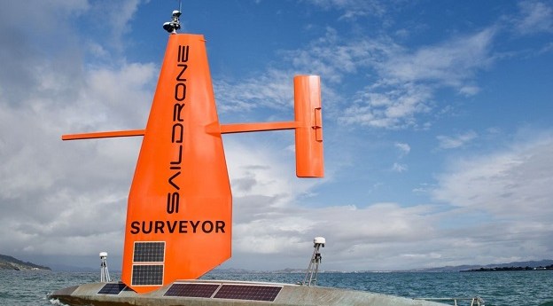
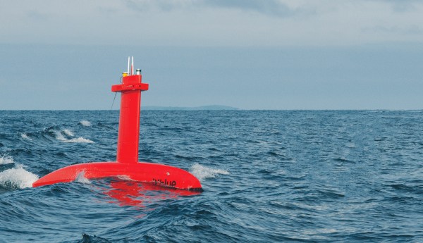
The 20-metre-long craft can undertake autonomous bathymetric data collection for navigation and charting.2023-04-18
The companies will conduct bathymetric LiDAR surveys for the HydroScheme Industry Partnership Program.2022-09-01
HMS Scott is preparing for a 14-month mission to survey half a million...2022-06-21
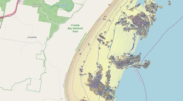
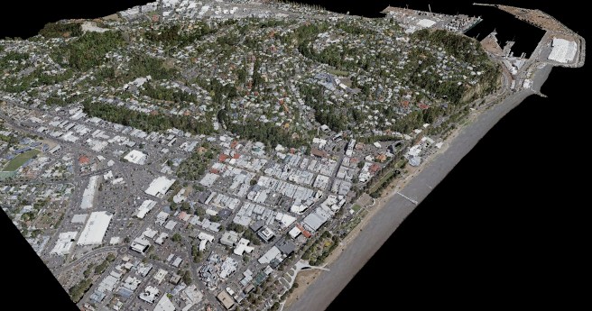
The SeaBed NSW map viewer captures the state’s entire coastline at depths of...2022-06-08
PHS has successfully tendered to conduct a bathymetric survey between Cape Jervis and...2021-02-11
Spatial Source’s fortnightly round-up of the best in cartography, spatial analysis and creative...2021-02-03
iXblue has announced the award of two significant bathymetric survey contracts in Australia...2020-09-29
Position’s editor Daniel Bishton spoke with Prof Mike Coffin, marine geophysicist at University...2020-09-02
Partnered firms will scan over 38,500 square kilometres between the two projects.2020-06-18
The SSSI and Australasian Hydrographic Society will collaborate to further the interests of...2020-06-16
Acquired data could inform Australia’s claim to an area of seafloor the size...2020-03-10
The $150m HIPP initiative aims to boost Australia’s hydrographic industry capability over the...2020-03-02
The world’s first national map of Australian marine habitats is now open to...2019-10-14
Newsletter
Sign up now to stay up to date about all the news from Spatial Source. You will get a newsletter every week with the latest news.
The geospatial sector is set to both underpin the metaverse ...The 10-year project aims to improve infrastructure delivery,...March 21 is the day on which we celebrate the essential work...UAV users can now easily see whether they need to obtain aut...SimActive has announced improved cloud environment enhanceme...© 2024 Spatial Source. All Rights Reserved.
Powered by WordPress. Designed by


