

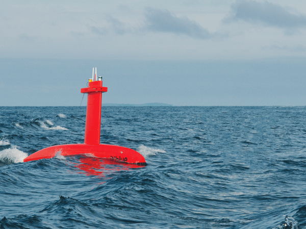
iXblue’s DriX unmanned bathymetric survey vessel. Image provided.
Hydrographic survey firm iXblue has announced the award of significant contracts with LINZ and the Australian Department of Defence.
According to the firm’s announcement, the LINZ project will see iXblue collect close to 2,000 linear nautical miles of high resolution bathymetry data in coastal waters off the Coromandel Peninsula, utilising a 32m ship and an 8m DriX USV (Uncrewed Surface Vessel).
Both vessels are equipped with sensors and software from iXblue, Kongsberg, Valeport, RBR, QPS and CARIS.
David Field, iXblue’s regional Operations Manager, said that both vessels working simultaneously would halve the time usually required for such an acquisition.
The Australian project is awarded under the HydroScheme Industry Partnership Program (HIPP), under which the firm’s Queensland-based staff will collect over 5,000 linear nautical miles in the designated two-way shipping route between Abbot Point and Hydrographers Passage, near the Whitsunday Islands.
The Australian survey mission will use identical equipment and systems to the New Zealand project, and both will rely on iXblue’s Australian-based cloud infrastructure.
Congratulations iXblue on the awards!
Stay up to date by getting stories like this delivered to your mailbox.
Sign up to receive our free weekly Spatial Source newsletter.


