

Here’s what you’ll find in the June/July 2024 issue of Position magazine, Australia’s geospatial sector journal covering the spatial, surveying, space, UAV, remote sensing, hydrography and mapping sectors and more.
If you’re not already a subscriber, please head to our subscription page and sign up today to stay fully informed of developments in the Australasian geospatial sector.
Inside you’ll find:
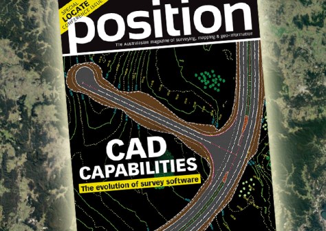
- COVER STORY: The evolution of CAD survey software — The hugely successful MAGNET Office workflow solution will soon be upgraded to version 9.
- LOCATE PREVIEW — Find out what you will see, hear and learn at Locate24, this year’s most important Australian geospatial conference.
- Q&A with Chris Rizos — Geodesy underpins surveying and many branches of science, yet it’s often misunderstood, underappreciated or overlooked, says Rizos.
- Robust rover — Directional drilling company SADB is combining the power of the Leica Geosystems iCON gps 160 rover and BricsCAD software.
- Women in geospatial — Meet five professionals who are excelling in different segments of the sector.
- 4D measurement monitoring — Find out how Australian success story, Kurloo, is transforming the way surveyors, engineers and asset owners manage ground and infrastructure movement.
- Resilient PNT — A new report reviews Australian policies and activities related to the provision of assured PNT services, and earn why reliable access to PNT services is vital for Australia’s national security
- LiDAV research — Sydney-based company Advanced Navigation has been granted millions of dollars to further develop navigation sensor technology.
- Embracing neurodiversity — Find out how Australian Spatial Analytics is delivering a cadre of highly-skilled geospatial professionals while also making a significant social impact.
- Testing SouthPAN — UNSW surveying students were challenged to put a range of SouthPAN devices and services through their paces.
- Maps in context — Learn how the ICA and the OGC are collaborating to improve cartographic design and develop interoperable mapping standards.
- Shipwreck scans — Multibeam bathymetry of the wreck of the SS Nemesis has helped solve a 120-year-old maritime mystery.
- Launch countdown — South Australia’s Kanyini satellite and its hyperspectral payload are one step closer to launch following temperature and vibration testing.
This issue also contains the latest updates from the Geospatial Council of Australia (GCA):
- GCA CEO’s Column — Tony Wheeler looks at the state of digital twins and how they promise to reshape how we perceive and leverage geospatial insights.
- Engineering surveying — Francine Milne provides an update on GCA’s revamped ESP-AP certification.
- Mapping a DEI future — Roshni Sharma outlines her passion for promoting diversity, equity and inclusion efforts across the geospatial sector.
Plus all the latest industry news, a full list of upcoming conferences and details of the latest products on the market.
Stay up to date with developments in the Australian surveying, space and spatial sectors — sign up today to receive Position magazine by heading to our subscription page.


