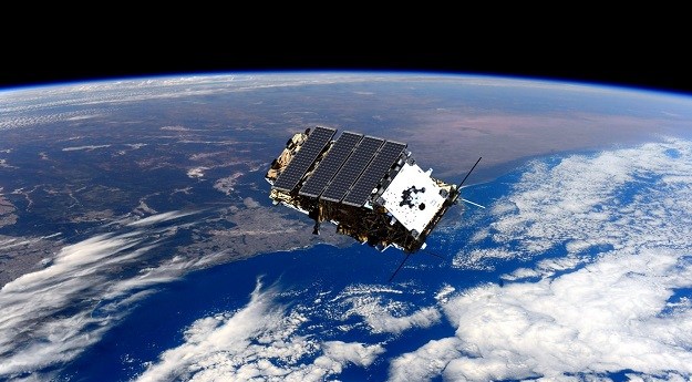
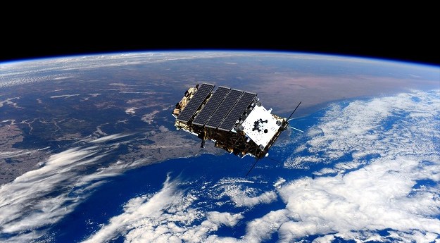
The new platform will provide enhanced capabilities and improved access to NovaSAR-1 data.
csiro
-
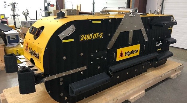
The units can operate at depths up to 6,000 metres and were once...
2025-05-13
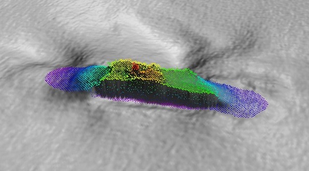
Seafloor mapping and the search for a historic shipwreck are on the agenda...2025-03-12
Terria has been spun out of the CSIRO following the successful closure of...2024-12-18
ADVERTISEMENTCSIRO’s research vessel RV Investigator delivers a keystone capability for mapping Australia’s vast...2024-06-21
A 120-year-old mystery has been solved following the discovery of the wreck of...2024-02-26
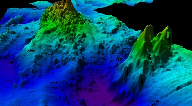
The voyage aboard the RV Investigator surveyed 20,000 square kilometres to a depth...2023-12-20
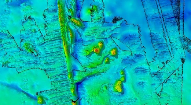
CSIRO has released results of RV Investigator bathymetry work to map the seafloor...2023-06-21
A CSIRO project team has used bathymetry to confirm the location of the...2023-05-16
An RFI has been issued to explore options for the next generation of...2023-05-01
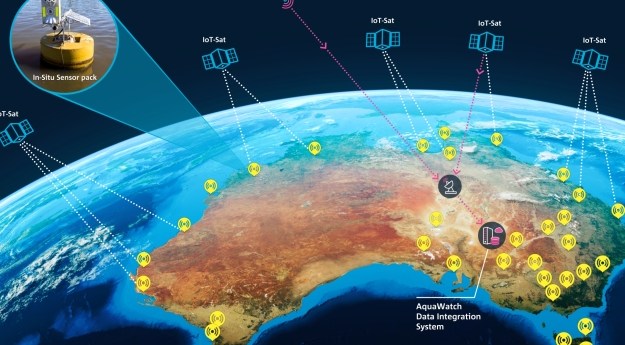
Data from EO satellites will be merged with ground-based sensors to monitor and...2023-04-17
On behalf of CSIRO, Canberra-based Geospatial Intelligence will present a series of NovaSAR-1...2023-02-08
Australian researchers can now apply to direct the synthetic aperture radar satellite’s advanced...2021-07-08
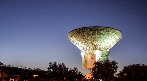
The $70 million dish will be built in cooperation with the Australian Space...2021-05-03
CSIRO said the changes would see the removal of paywalls and enable unrestricted...2021-03-09
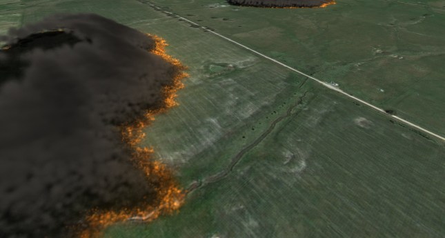
The CSIRO and AFAC are to develop a nationally consistent bushfire modelling and...2021-02-16
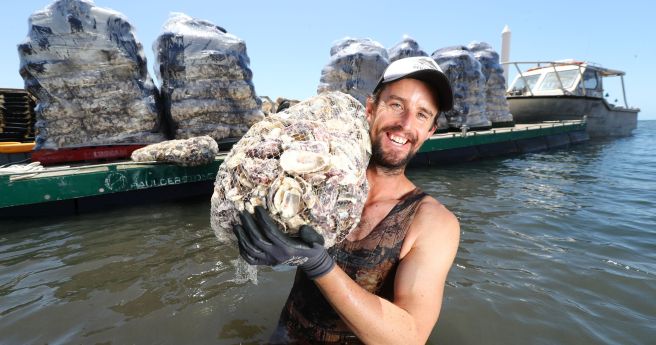
Strategy to vastly expand coastal ecosystem restoration for widespread benefits.2021-01-13
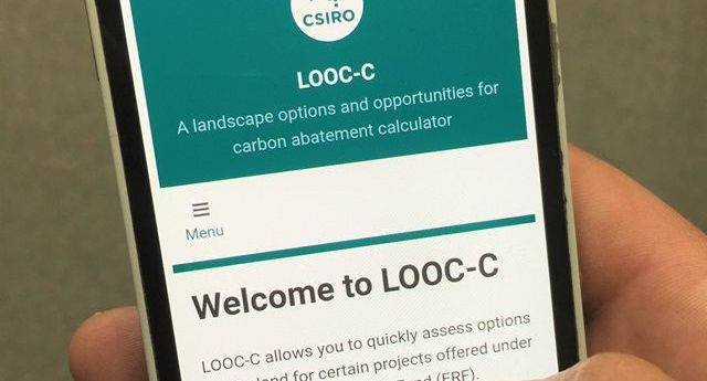
Updated LOOC-C tool now models soil carbon measurements and beef herd cattle management.2020-12-09
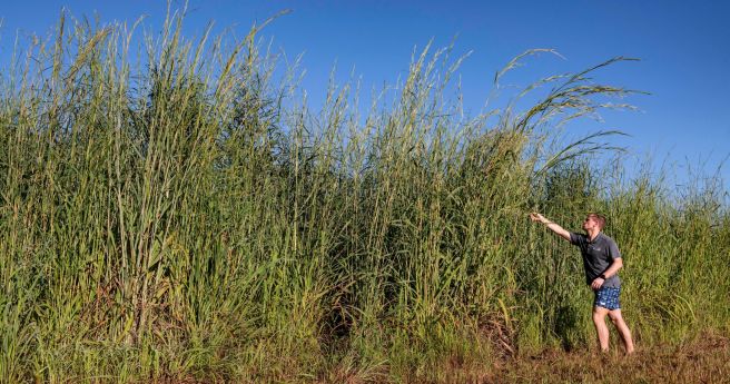
Researchers have developed a model that can identify Gamba grass with up to...2020-11-25
Virgin Galactic’s Chief Operating Officer Enrico Palermo will head the Australian Space Agency...2020-11-24
Newsletter
Sign up now to stay up to date about all the news from Spatial Source. You will get a newsletter every week with the latest news.
© 2025 Spatial Source. All Rights Reserved.
Powered by WordPress. Designed by


