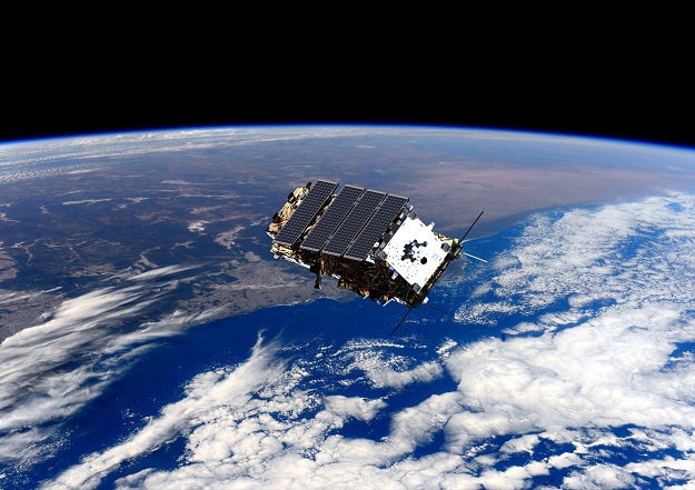
Artist’s impression of NovaSAR-1. Courtesy Surrey Satellite Technology.
On behalf of CSIRO, Canberra-based Geospatial Intelligence will present a series of NovaSAR-1 virtual workshops, designed to build understanding of SAR and the utility of NovaSAR-1 data, promote discussion on the challenges and opportunities of using SAR, and provide a forum for exploring research collaborations.
Recognising the potential of synthetic aperture radar (SAR) data for the Australian EO community, CSIRO purchased a 10% share of NovaSAR-1 tasking and acquisition time, providing Australia with direct access to data from one of the world’s most innovative SAR satellites. This is the first time Australia has managed its own source of SAR Earth observation data.
Workshops 1 and 2 (14 and 23 February respectively) are designed for novice SAR users who work in the EO sector. They will provide a run through of basic SAR concepts and an introduction to NovaSAR-1 before working through a tutorial using SAR data. Participants should come with a basic understanding of GIS systems and Remote Sensing in order to get the most out of these workshops.
Workshops 3 and 4 (28 February and 9 March respectively) are designed as an extension to the Intro to SAR workshops, however they can be a stand-alone workshop for people with prior experience working with SAR. They will include a review of material covered in Workshops 1 and 2, but with a more in-depth look into SAR processes and processing techniques, including an advanced tutorial using NovaSAR-1 or Sentinel-1 data.
The workshops will also provide an opportunity to complete a survey to help inform CSIRO about future SAR support, activities and training needs.


