

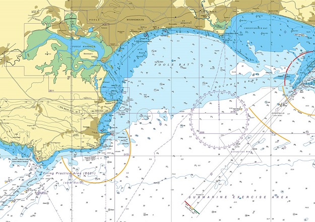
Image courtesy UKHO
In July 2022, the UK Hydrographic Office (UKHO) announced its intention to withdraw from the production of paper charts. But following feedback, the decision has now been made to continue chart production until at least 2030.
The initial decision to cease production of paper charts was made following consultations with the UK Maritime and Coastguard Agency and national user groups, with a target date of late 2026 set for completion of the process.
The withdrawal was subject to the development of digital solutions for those remaining users of ADMIRALTY Standard Nautical Charts (SNCs) and Thematic Charts, to ensure those user have viable, official alternatives, as well as meeting the technical and regulatory steps required to achieve this.
The UKHO also made a commitment to consult closely and more widely with its UK and international stakeholders on the proposal and to listen to their feedback, stating that “we would leave no one behind”.
To that end the Office engaged with many groups and organisations in recent months, including distributors, defence customers, commercial and leisure users, international regulatory authorities, and colleagues in the global hydrographic community.
According to the UKHO, those conversations have “highlighted a number of important transnational and regulatory factors that need further consideration”.
“It has become clear that more time is required to address the needs of those specific users who do not yet have viable alternatives to paper chart products, so we will continue to provide a paper chart service until at least 2030,” the office said in a statement.
Peter Sparkes, Chief Executive of the UK Hydrographic Office, said that “As we further develop digital navigation solutions, our long-term intention to withdraw from paper chart production remains unchanged and we will continue to withdraw elements of our chart portfolio over the coming period, on a case-by-case basis”.
“However, having listened to the feedback we have received and in light of the consequential impact of the international technical and regulatory steps required to develop digital alternatives, we will be extending the overall timetable for this process,” he added.
“Please be assured that the elements of our paper chart portfolio necessary to support safe navigation for our customers will be maintained throughout this transitional period as we increase our focus on digital navigation products and services.”


