

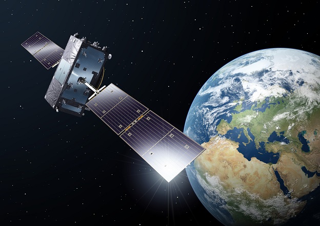
Image courtesy ESA/P. Carril
Europe’s Galileo satellite positioning system can now deliver horizontal accuracy down to 20 cm and vertical accuracy of 40 cm, for appropriately equipped receivers, thanks to the system’s newly implemented High Accuracy Service (HAS).
The HAS is enabled through an additional level of real-time positioning corrections, delivered through a new data stream within the existing Galileo signal. The service was declared operational on 24 January 2023 following months of testing by ESA engineers at the ESTEC technical centre in the Netherlands.
“Galileo is not standing still,” said Javier Benedicto, ESA Director of Navigation, speaking at the European Space Conference in Brussels.
“This new High Accuracy Service offers a new dimension of precision to everyone who needs it, while the Open Service Navigation Message Authentication — already available — allows users to authenticate Galileo signals as they make use of it, to minimise any risk of spoofing.”
Benedicto added that an upgraded integrity message of the signal rolled out last year, reduces the time to first fix while enhancing the overall robustness of Galileo.
“Further service improvements will come with the launch of the remaining Galileo satellites, followed later this decade by Galileo Second Generation,” he said.
The HAS correction message is embedded within the E6 band of the Galileo signal, typically not accessible via smartphones and other mass-market products but only through high-end receivers.
However, the message is also being made available through the internet, opening the prospect of wider adoption by connected devices, and its development into the Open Service standard in years to come.
“With this new High Accuracy Service, Galileo becomes the first constellation able to provide a high-accuracy service globally and directly through the signal in space and via internet,” said Rodrigo da Costa, Executive Director of EUSPA.
“This new feature for Galileo will foster innovation in many downstream sectors.”
Corrections
Both the orbits of the satellites and their on board atomic clocks, are prone to drift. This, plus signal delays produced by ionospheric conditions, tend to reduce overall accuracy. To accommodate for this, a global network of Galileo Sensor Stations performs continuous monitoring of the satellites and their signals, using the data to compile a set of corrections which are uplinked to the satellites to be incorporated into their navigation signals every 100 minutes or so.
HAS improves on this performance through the use of a High Accuracy Data Generator based at the Galileo Control Centre in Fucino, Italy, generating additional corrections for Galileo as well as US GPS satellites. These corrections are then relayed to compatible receivers in real time through the Galileo satellite signal, compiled into a single message of 448 bits per second.

A High Accuracy Data Generator based at the Galileo Control Centre in Fucino, Italy, generates additional corrections for Galileo as well as GPS satellites. These corrections are then relayed to compatible receivers in real time through the Galileo satellite signal. Image courtesy EUSPA.
“Compared to the Galileo Open Service, the corrections are made available very rapidly and very often – with an update for satellite orbits every 30 seconds and for satellite clocks every 10 seconds,” said ESA’s Galileo System Performance Engineer Daniel Blonksi.
“And the HAS correction message is designed in such a way that suitable receivers can benefit from multiple satellites broadcasting it, to reconstruct the overall message very fast.”
The HAS will have two service levels. Service Level 1, already available, corrects satellite orbit and clock errors as well as internal signal biases unique to each satellite in which, once known, can enable still higher precision through direct comparisons of their signal phase.
Service Level 2, intended for roll out across Europe, will combine these with additional ionospheric corrections, made possible by the use of additional ground stations for which ESA is preparing the needed infrastructure upgrades.
EUSPA, the EU Agency for the Space Programme, is targeting the HAS for current high-precision applications such as precision agriculture, resource prospecting, land and hydrographic surveys as well as emerging sectors such as robotics, autonomous cars, trains, ships and drones and augmented reality gaming and marketing.


