Image credit: ©stock.adobe.com/au/Christian Pauschert
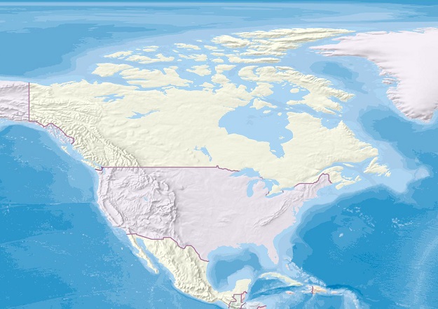
Canada’s, Minister of Fisheries, Oceans and the Canadian Coast Guard, Joyce Murray, has launched the new Canada Marine Planning Atlas, an interactive mapping tool that will enable users to view and interact with data relevant to marine spatial planning.
The Atlas includes data on economic, ecological and sociocultural activities that sometimes overlap in Canada’s marine spaces.
According to the Minister, marine spatial planning brings together all levels of government, Indigenous partners and stakeholders to shape better the objectives and future uses of marine space.
Coordinating the management of ocean activities will be a key factor in achieving Canada’s part of conserving 30% of the world’s oceans by 2030.
“How we utilise Canada’s oceans, especially how we protect and restore them for present and future generations, will be greatly influenced by marine spatial planning in Canada and tools like the new Canada Marine Planning Atlas,” said the Minister.
“I encourage Canadians to explore this new resource to learn more about how our waters are used and to support efforts to safeguard the health of the oceans.”
The Atlas is being showcased during IMPAC5, the Fifth International Marine Protected Areas Congress, in Vancouver (3 to 9 February 2023).


