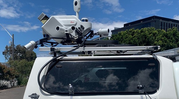
The Leica Geosystems Pegasus TRK vehicle-mounted scanner is making surveying safer and more...
LiDAR
-
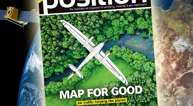
The Apr/May2023 issue of Position magazine is out now, packed full of all...
2023-04-13
In our annual Leaders Forum, we ask experts to look ahead into 2023....2023-02-01
In our annual Leaders Forum, we ask experts to look ahead into 2023....2023-01-23
ADVERTISEMENTIn our Leaders Forum, we ask experts to look ahead into 2023. Today...2023-01-11
SiteScape enables LiDAR-equipped mobile devices to capture indoor spaces, especially in the AEC...2022-12-02
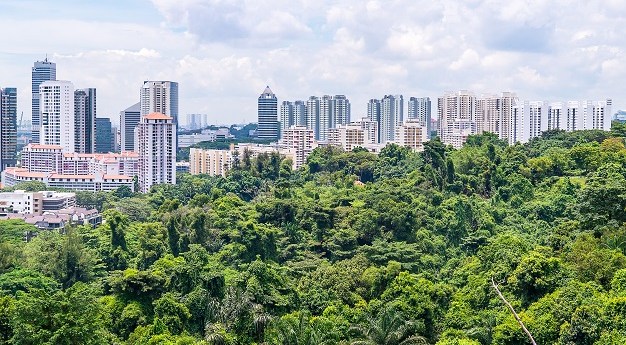
Airborne LiDAR and high-resolution aerial images will boost ground-based forest carbon estimation analyses.2022-10-11
The companies will conduct bathymetric LiDAR surveys for the HydroScheme Industry Partnership Program.2022-09-01
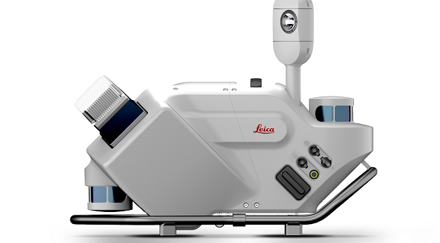
The Leica Pegasus TRK Neo is a complete, high-level mobile mapping solution that’s...2022-08-22
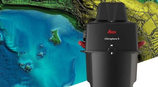
The Leica Geosystems Chiroptera-5 combines airborne bathymetric and topographic LiDAR sensors with a...2022-08-05
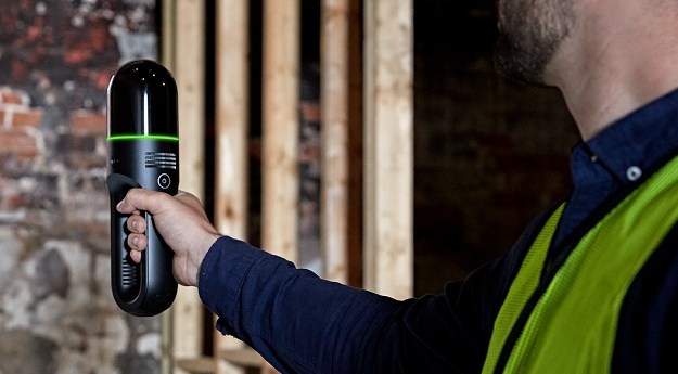
The Leica Geosystems BLK2GO dramatically reduces the time and effort involved in building...2022-07-05
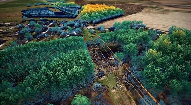
The project will use LiDAR and imagery to scan Denmark’s 3000-line-kilometre electricity network.2022-06-28
Mobile mapping has revolutionised the capture of location and asset data for the...2022-05-25
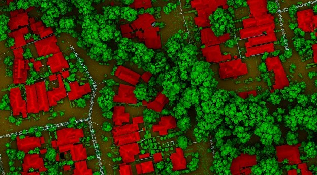
LiDAR is the most precise way to measure tree canopies and gauge changes...2022-05-03
In the lead up to Locate22 in May, we’re highlighting some of the...2022-04-11
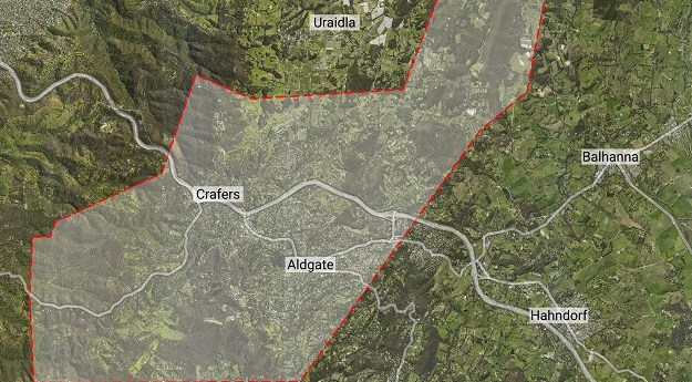
Aerometrex has produced bushfire fuel load maps of the Adelaide hills, to aid...2022-03-10
In our Leaders Forum, we asked the experts to look ahead into 2022....2022-01-12
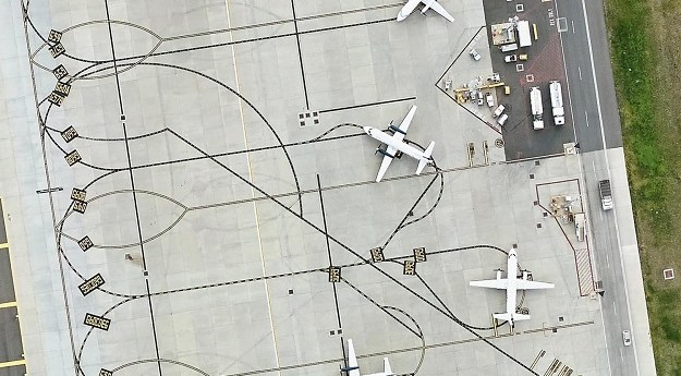
The Melbourne Airport presents a spatial management challenge as Australia’s largest and still-growing...2021-10-25
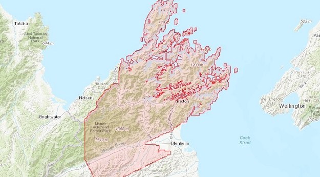
3D mapping data for New Zealand’s Marlborough region has been released as part...2021-09-06
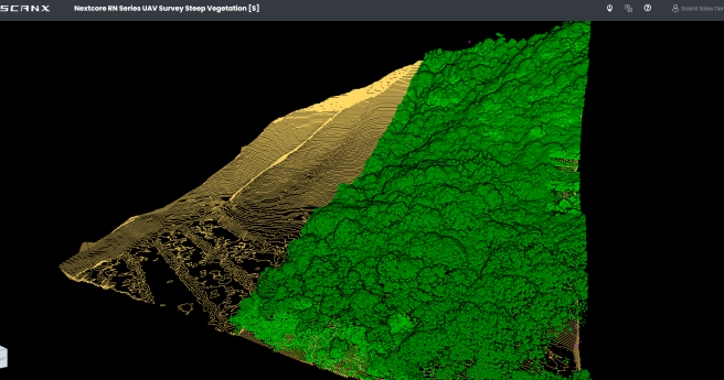
ScanX is a web-based point cloud processing platform that helps speed up the...2021-08-03
Newsletter
Sign up now to stay up to date about all the news from Spatial Source. You will get a newsletter every week with the latest news.
© 2025 Spatial Source. All Rights Reserved.
Powered by WordPress. Designed by


