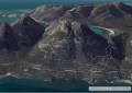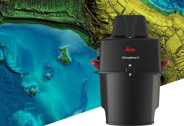
Leica Geosystems has introduced the Chiroptera-5, a new high-performance airborne bathymetric device that combines airborne bathymetric and topographic LiDAR sensors with a 4-band camera to collect data from the seabed to land.
Thanks to higher pulse repetition frequency, the technology increases point density by 40% compared to the previous generation system, collecting more data during every survey flight.
Improved electronics and optics increase water depth penetration by 20% and double the topographic sensitivity to capture larger areas of submerged terrain and objects with greater detail.
The sensor is designed to fit a stabilising mount, enabling more efficient area coverage which decreases operational costs and carbon footprint of mapping projects.