

The Geospatial Council of Australia will hold a special webinar on 21 May, which will showcase how the Spatial WA initiative is transforming the way government and industry access and use spatial data in Western Australia.
The webinar will outline four high-impact use cases:
- Exposure modelling for emergency management
- Infrastructure projects and assets
- Digital approvals workflow for land development
- 4D land management
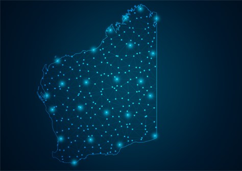
The Spatial WA program will deliver Western Australia an Advanced Spatial Digital Twin (ASDT), which will provide Government a new digital capability that will provide a digital, spatially accurate representation of WA’s built and natural environments.
Led by Landgate, Spatial WA has been developed in consultation with more than 30 government agencies, highlighting the need to better leverage spatial and non-spatial digital data to support government priorities.
The ASDT will maximise the value of the state’s data by creating a spatially accurate 4D virtual representation of the built and natural environment, supporting key government priorities around infrastructure delivery, planning reforms and emergency preparedness.
Webinar participants will hear directly from the program’s leaders and find out how Spatial WA is already being applied in real-world settings:
- Darren Mottolini, Program Director, Spatial WA
- Rod Nowrojee, Use Case Lead, Emergency Management
- Lisl Van Aarde, Use Case Lead, Digital Approvals
- Nick Grobelaar, Use Case Lead, 4D Land Management
Registration for the one-hour webinar is free of charge for individual GCA members or $55 for non-members.
Registrations will close two hours before the published start time. A Zoom link will be emailed to registered participants’ email addresses closer to the webinar date.
Date: Wednesday, 21 May 2025
Time: 11:00am AWST / 12:30pm ACST / 1:00pm AEST
Points: Earn 1 GCA CPD point


