


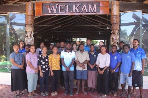
A week-long training on using open-source GIS tools and remote sensing satellite data from the Pacific Community’s (SPC) Digital Earth Pacific (DE Pacific) will enable Solomon Islands government officials and researchers to better map, monitor and protect seagrass and mangrove ecosystems.
The training, conducted as part of the Management and Conservation of Blue Carbon Ecosystems (MACBLUE) project, brought together participants from government and academia to bridge a vital knowledge gap in environmental monitoring data collection and analysis.
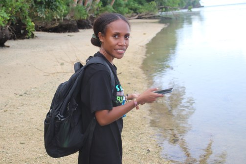
“I have a very basic knowledge about GIS, but not QField [for GPS field data collection], to extract the field data,” said Tracey Vunagi, an Environmental Management lecturer at the Solomon Islands National University.
“The mapping tool is very useful, especially in an academic institution where we are dealing with research and trying to come up with curriculum guidance for students.
“By using this free tool, it gives us the opportunity to collect accurate data from the field.”
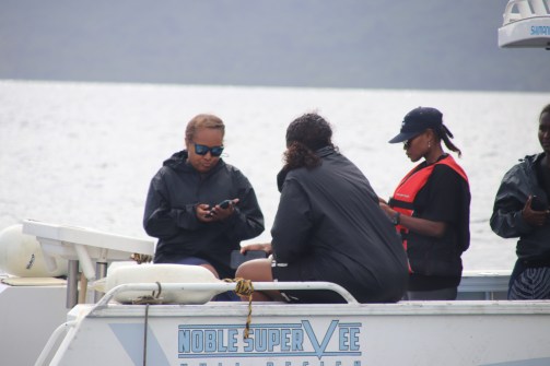
The GIS tools and remote sensing training marked a significant advancement for the Environment Conservation Division. Agnetha Vave, Karamui, Chief Conservation Officer, said the training would provide officers with the necessary skills to collect data from communities to support work with provincial governments, reducing costs and improving data collection.
“Mapping is a necessary tool when it comes to the protection of ecosystems. We have to know where the seagrasses and mangroves are to be able to come up with management plans,” she said.
“Having access to updated information showing trends, changes, losses of mangroves and where the mangrove distributions are enables proper, updated advice to management that can influence a lot of this day-to-day decision-making.
“Now, I am looking forward to having this updated mangrove and seagrass information that can help us with our work.”
Ministry of Fisheries and Marine Research Principal Research Officer, Jasmine Rahi, reflected on the value of integrating GIS tools and remote sensing satellite data into fisheries management.
“This training is very resourceful and helpful in terms of managing areas that are spawning habitats for fish, especially when putting together community-based resource management and how we can implement mangrove management with the use of these maps,” she said.
The workshop, facilitated by the Pacific Community (SPC) Earth and Ocean Observation Team, continues a skills-transfer series already held in Papua New Guinea. Future workshops are scheduled for Fiji and Vanuatu.
SPC’s Earth and Ocean Observation Technical Officer, Elenoa Biukoto, said the workshop provides technical skills transfer to partners in the Solomon Islands Government Ministries and the Solomon Islands National University to map better, monitor, and plan actions for the management of seagrass and mangrove ecosystems at a national scale.
“This access to valuable data reveals a significant opportunity to improve data quality, particularly through projects like MACBLUE. These efforts help map seagrass populations and mangrove extents, which are critical for long-term monitoring and conservation,” said Biukoto.
“We hope that through the integration of our workflow into the open-source tools being used during the workshop, more technical and analytical people can develop proper outputs and results using accessible data with the help of the Digital Earth Pacific platform.”
The GIS tools and remote sensing training was made possible through the Management and Conservation of Blue Carbon Ecosystems (MACBLUE) project funded by the German Federal Ministry for Environment, Nature Conservation, Nuclear Safety and Consumer Protection (BMUV) through its International Climate Initiative (IKI).
The MACBLUE project is jointly implemented by the Secretariat of the Pacific Regional Environment Programme (SPREP), the Pacific Community (SPC) and GIZ Pacific in close cooperation with their four partner governments, Fiji, Papua New Guinea, Vanuatu and Solomon Islands.


