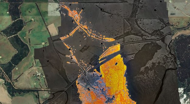
The first round of data collection for the IGNIS Project involved 50 flying...
aerial mapping
-
Improved foreshore and seabed data is now available for Gascoyne and WA south...
2024-06-24
The campaign will produce detailed 3D maps of the seafloor and coastline between...2024-04-24
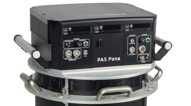
The Phase One PAS Pana seven-camera wide-field system features five RGB cameras and...2024-03-07
ADVERTISEMENTIn the run up to the Locate conference in May, we’re highlighting some...2023-04-21
The system takes less than a minute to fly over the fire front...2022-01-12
NZ Aerial Mapping, founded in 1936, was put into receivership after running out...2014-09-23
Newsletter
Sign up now to stay up to date about all the news from Spatial Source. You will get a newsletter every week with the latest news.
© 2025 Spatial Source. All Rights Reserved.
Powered by WordPress. Designed by


