

Tasmanian engineering firm Gandy and Roberts is winning over clients using the NavVis VLX mobile mapping system.
Adelaide atomic clock group wins two awards
By jnally on 23 August, 2023The team’s technology aims to out-perform GPS-derived timing by many orders of magnitude.
Kurloo: An Australian-first geospatial breakthrough
By jnally on 22 August, 2023The story of the development of an intelligent positioning sensor technology, known as the Kurloo.
IBM releases geospatial model on open AI platform
By jnally on 21 August, 2023The watsonx.ai geospatial foundation model, based on NASA satellite data, is now openly available on Hugging Face.
US company awarded $1.8m LEO PNT R&D contract
By jnally on 18 August, 2023Xona Space Systems will work on a secure PNT system with the US Space Force and Air Force Research Laboratory.
Nominations open for geospatial education awards
By jnally on 17 August, 2023The She Maps Geospatial in Schools Awards recognise the efforts of outstanding teachers and students.
Latest Geospatial News
View all
The funding includes support for projects to monitor inland and coastal water quality and develop AI space tech.
 2024-04-08
ADVERTISEMENT

It’s now three years since South Australia moved to lodging survey plans in the Digital Plan Lodgement format.
2024-04-08 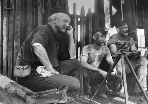
Almost 200 years of surveying history are maintained at the Museum of Lands, Mapping and Surveying.
2024-04-08 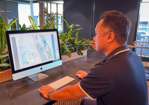
The chart for Quinns Rocks in Perth is the first to be issued under the digital conversion of WA’s nautical charts.
2024-04-05 
The datasets have been released by the UK’s Ordnance Survey as part of the Public Sector Geospatial Agreement.
2024-04-03 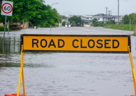
NSW’s SDT will visualise real-time rainfall and flood conditions using data from TPG’s mobile phone network.
2024-04-02
ADVERTISEMENT
Australia will spend more than $200 million to join the Landsat 2030 International Partnerships Initiative.
2024-04-02 
- Sponsored Content
Aidedo was founded based on the practical experience of CEO Aiden Tong while studying and working with many Civil Engineering and Land Surveying firms in developed countries.
2026-06-02
The City of Sydney has set targets to grow a cooler, more diverse, and resilient city using mapping technology.
2024-04-01 



Events
View All-
Nov 9
2026 Advancing Earth Observation Forum
 Hobart, Tasmania
-
Nov 10
SouthPAN Industry Day
Online -
Nov 13
South West and Great Southern Surveyors Conference
Mantra Bunbury Lighthouse, Bunbury, WA -
Nov 24
Locate26 Conference / 10th Digital Earth Summit
Melbourne Convention & Exhibition Centre -
Nov 30

