

IBM’s watsonx.ai geospatial foundation model — built from NASA satellite data — is now openly available on open-source AI platform Hugging Face.
According to IBM, this will be the largest geospatial foundation model available on Hugging Face and the first-ever open-source AI foundation model built in collaboration with NASA.
As part of a Space Act Agreement with NASA, IBM set out earlier in 2023 to build the AI foundation model for geospatial data.
The company says that making the geospatial foundation model available via Hugging Face will democratise access to and application of AI to generate new innovations in climate and Earth science.
The model — trained jointly by IBM and NASA on Harmonised Landsat Sentinel-2 (HLS) satellite data over one year across the continental United States, and fine-tuned on labelled data for flood and burn scar mapping — has demonstrated to date a 15% improvement over state-of-the-art techniques using half as much labelled data.
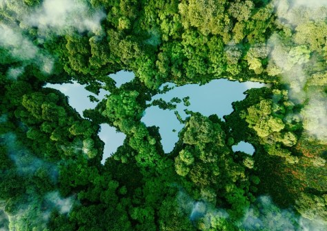
With additional fine tuning, the base model can be redeployed for tasks like tracking deforestation, predicting crop yields, or detecting and monitoring greenhouse gasses. IBM and NASA researchers are also working with Clark University to adapt the model for applications such as time-series segmentation and similarity research.
“AI remains a science-driven field, and science can only progress through information sharing and collaboration,” said Jeff Boudier, head of product and growth at Hugging Face.
“This is why open-source AI and the open release of models and datasets are so fundamental to the continued progress of AI, and making sure the technology will benefit as many people as possible.”
NASA estimates suggest that by 2024, scientists will have to deal with 250,000 terabytes of data from new missions.
“We believe that foundation models have the potential to change the way observational data is analysed and help us to better understand our planet,” said Kevin Murphy, Chief Science Data Officer, NASA. “And by open sourcing such models and making them available to the world, we hope to multiply their impact.”


