

The Australian Institute of Mine Surveyors will offer free membership to eligible students for 2023.
Canberra launches one-stop-shop drones website
By jnally on 4 October, 2022The new website will bring information on drone rules and regulations together in one place.
Optimising Your GNSS Field Method for SBAS
By SS Advertiser on 4 October, 2022Want more accurate GNSS coordinates Free? Improve your results in harsh environments – see Peter Terrett at Forest Tech to learn about South PAN – a new SBAS differential correction service.
How regional surveyors are unlocking value with drone LiDAR
By SS Advertiser on 1 October, 2022Regional surveyors are unlocking the value of drone LiDAR by engaging specialist spatial firms like Diospatial, who have established capabilities in data acquisition, post-processing, quality control and delivering fit-for-use outputs.
Static Survey gear: Affordable & Compact
By SS Advertiser on 1 October, 2022Static surveying equipment is now affordable, compact and durable to include in your toolset with Emlid’s Emlid Reach RS2+ GNSS receiver.
Airbus Defence and Space sets up Adelaide office
By jnally on 28 September, 2022It will be Airbus’ first Australian office dedicated to space and home to the RMS STaR Shot mission.
SouthPAN early Open Services are now live
By jnally on 27 September, 2022SouthPAN will boost positioning accuracy from as much as 5 to 10 metres, to as little as 10 cm.
Latest Geospatial News
View all
The partners aim to perfect software-defined quantum sensors to enable GPS-free navigation for defence missions.
 2023-07-12
ADVERTISEMENT

A new type of miniature atomic clock could provide better timing over the span of weeks and months.
2023-07-10 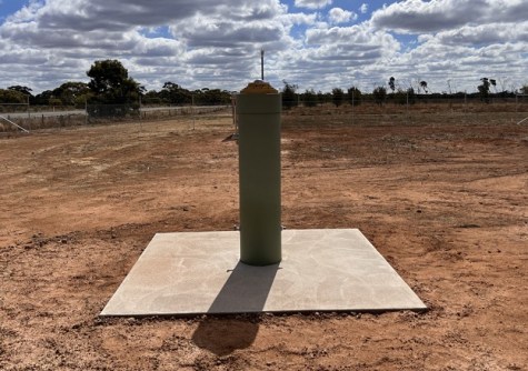
The station fills a gap in coverage in north-western Victoria, with its data to be made available via resellers.
2023-07-10 
The Geospatial Excellence Awards replace the APSEAs, recognising the work of individuals, teams or companies.
2023-07-05 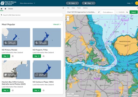
The new web interface is more customisable and provides access to a wealth of geospatial data.
2023-07-05 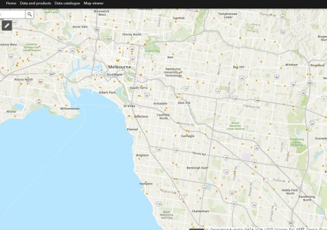
The Atlas brings combines ‘trusted national datasets’ and presents them on a single online platform.
2023-07-05
ADVERTISEMENT

The International Geospatial Innovation Awards saw almost 100 entries received from 26 different countries.
2023-07-04 
- Sponsored Content
Aidedo was founded based on the practical experience of CEO Aiden Tong while studying and working with many Civil Engineering and Land Surveying firms in developed countries.
2026-06-02
There’s a new BVLOS OCTA exam, a new sample ReOC operations manual, and draft Remote ID and Privacy Guidelines.
2023-07-04 



Events
View All-
Nov 9
2026 Advancing Earth Observation Forum
 Hobart, Tasmania
-
Nov 10
SouthPAN Industry Day
Online -
Nov 13
South West and Great Southern Surveyors Conference
Mantra Bunbury Lighthouse, Bunbury, WA -
Nov 24
Locate26 Conference / 10th Digital Earth Summit
Melbourne Convention & Exhibition Centre -
Nov 30

