

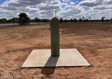
A new GNSS ground station has been established in Mildura as part of Positioning Australia’s National Positioning Infrastructure Capability (NPIC) program.
The new ground station is now streaming GNSS data used in precise positioning services, having expanded the reach of the GNSS ground station network and filled a gap in network coverage in north-western Victoria.
The Surveyor-General of Victoria (SGV) Geodesy-managed Vicmap Position – GPSnet network will incorporate the new site, which will be made available via commercial value-added reseller positioning services.
The new Mildura ground station was established in collaboration with SGV Geodesy, Lower Murray Water and Geoscience Australia on Millewa-Mallee land at Koorlong.
SGV Geodesy identified the site and arranged land access, environmental assessment, lease area survey and site preparation work with assistance from Lower Murray Water. Geoscience Australia managed construction and installation.


