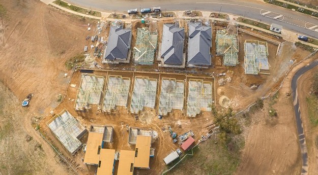
The 10-year project aims to improve infrastructure delivery, land use and emergency preparedness.
Government & Policy
-
A new report and a white paper released by FrontierSI examine policies and...
2024-03-01
The National GEOINT Operations Center will deliver geospatial information to decision makers.2024-02-26
Feedback is being sought on the experience of selling goods and services to...2024-02-21
ADVERTISEMENTThe Australian Bureau of Statistics is moving ahead with implementing GDA2020 for national...2023-12-05
It was a busy 12 months, with more than 182,000 customers served and...2023-11-15
Lisa Bush’s geospatial career has taken her from military mapping to leading the...2023-10-30
The federal government has selected ICEYE to supply flood and bushfire data for...2023-09-12
Better data and location services can unlock property ecosystem innovation, says the UK...2023-08-07
Woolf leads a team of experts who are implementing Australia’s next-gen positioning projects.2023-07-31
Your chance to ensure geospatial disciplines are recognised in the official Classification of...2023-07-25
NSW’s digital twin and the National Joint Common Operating Picture have won Special...2023-07-21
Nick Bolton is to become head of the Ordnance Survey, while Angus Essenhigh...2023-07-19
A new project will assess the best way to achieve a more consistent...2023-07-17
As of 1 July, the Geocentric Datum of Australia 2020 is to be...2023-07-14
The scrapping of Australia’s National Space Mission for Earth Observation has been described...2023-07-12
The new web interface is more customisable and provides access to a wealth...2023-07-05
There’s a new BVLOS OCTA exam, a new sample ReOC operations manual, and...2023-07-04
The $1.2 billion multi-satellite Earth observation project has been scrapped for “budget repair”...2023-06-29
The Commission has updated its 2020 strategy, aiming to place the UK at...2023-06-19
Newsletter
Sign up now to stay up to date about all the news from Spatial Source. You will get a newsletter every week with the latest news.
The geospatial sector is set to both underpin the metaverse ...The 10-year project aims to improve infrastructure delivery,...March 21 is the day on which we celebrate the essential work...UAV users can now easily see whether they need to obtain aut...SimActive has announced improved cloud environment enhanceme...© 2024 Spatial Source. All Rights Reserved.
Powered by WordPress. Designed by


