

Geoscience Australia’s digital topographic map series has reached a milestone.
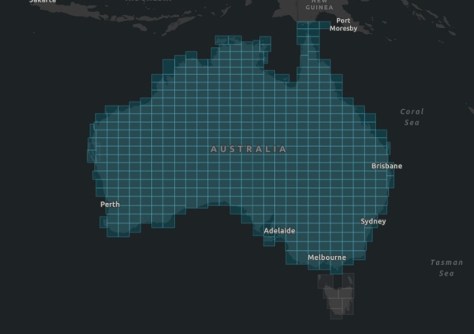
The project to release a nationwide series of AUSTopo 1:250,000 digital maps was begun in 2023 and has now reached the stage of covering the entire nation.
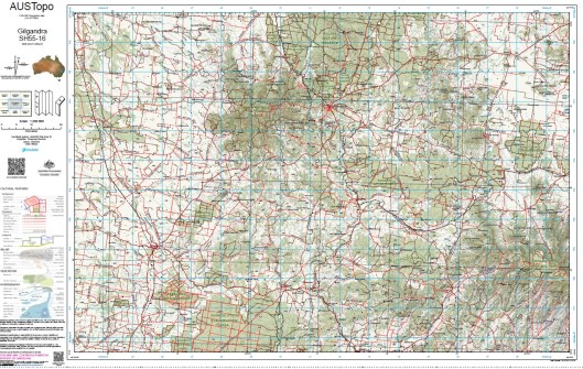
The 1:250,000 maps’ scale is such that 1 centimetre equals 2.5 kilometres on the ground.
Replacing the former paper versions, the 516 digital maps include up-to-date data and will be renewed as time goes on to ensure currency.
The maps are freely available for viewing and downloading through Geoscience Australia’s (GA) online map application, and can be printed if desired.
Complete redesign
Speaking with Spatial Source, Lisa Bush, Branch Head of Geoscience Australia’s National Location Information Branch, said that the process of converting from paper maps to the digital equivalent was not simple or straightforward.
“The maps have undergone a complete redesign using new data pipelines, workflows and automation,” she said.
“Using updated data, and with new processes the maps can be edited or corrected more easily.”
“We have prioritised consistency and repeatability over perfection, this balances the effort versus cost and the quality versus time to make a product with optimum balance,” she added.
“We use automation and process workflows instead of bespoke data collection and fixes or individual map creation. Effort has been focused on developing a repeatable, scalable product.”
Regarding the effort involved in producing the digital versions, Bush said that while the National Mapping team is comprised of just four people, contributing work, especially on data, involves input from a larger number of Geoscience Australia staff.
Bush says Geoscience Australia is committed to updating the 1:250,000 digital maps on a yearly cycle, and there are plans to potentially include smaller scales, e.g. 1:1,000,000, in the future. Geoscience Australia also holds some 1:100,000 and 1:50,000 scale maps in its catalogue, but these are legacy products.
“Users who would like the most current 1:100,000 and 1:50,000 scale maps should obtain them from the state or territory mapping authorities,” said Bush.


