

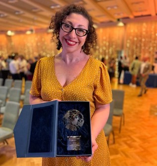
Four start-ups and a lifetime achievement winner chosen from a global field competing in four separate geospatial categories, have been recognised in Geovation’s International Geospatial Innovation Awards at a gala ceremony in London.
Geovation is a UK Ordnance Survey initiative which, together with HM Land Registry, offers an Accelerator Programme that has so far kickstarted the business of more than 150 geospatial and property start-ups.
The Awards, which saw almost 100 entries received from 26 different countries, recognised innovative new enterprises in fields as diverse as census data collection through to tracking down friends in busy night clubs.
“What these awards show so well is just how transformational geospatial data can be,” said Ordnance Survey’s Chief Commercial Officer Paul French. “It’s so exciting to see the range of innovative ideas and applications being created and shines a light on the people and projects making a real tangible difference to the areas in which they operate.
The winners were as follows:
Category 1 – Places for the Future: solutions that help build the cities and communities of tomorrow.
Winner: Where You At. Where You At solves the problem of losing friends in busy venues by providing precise indoor mapping capabilities. Users can locate their friends down to the floor-level, bar or cubicle, without a phone signal and with the option for timestamped SOS alerts.
Highly Commended: The Future Fox’s ‘Create-a-Town’. The Future Fox is a UK social impact enterprise that launched a new feature for its digital engagement platform, PlaceBuilder, enabling communities to be brought into the discussion on trade-offs when designing new developments for their town.
Category 2 – Land, sea and air (developments that preserve and protect the environment)
Joint Winner: UP42. UP42 was founded in 2019 to provide quick and easy access to optical, radar, elevation and aerial data. Its APIs and Python SDK enable customers to build and scale their solutions.
Joint Winner: Global Plastic Watch. Global Plastic Watch is a digital platform that maps the world’s plastic pollution in near real-time using a unique combination of satellite imagery and artificial intelligence. It uses deep learning to identify, measure, and monitor plastic waste sites on land, supporting local communities and national agencies with the data required to stop plastic before it enters the oceans.
Highly Commended: gtfs2emis. The gtfs2emis model is a novel, bottom-up method of estimating emissions from public transport, from single routes to entire public transport systems.
Category 3 – Resilience, safety, resource quality and protection of life
Winner: WorldPop. WorldPop maps populations across the globe. The group partners with governments and UN agencies and has produced almost 45,000 open geospatial datasets, complementing traditional sources with dynamic data for mapping.
Highly Commended: Cirrolytix Research Services. Cirrolytix is an innovator in data-driven health risk management. Its Aedes research project predicts dengue outbreaks, and its versatile framework has applications for managing other vector-borne diseases and health crises.
Category 4 – Individual contribution to open geospatial innovation
Winner: Dr Qiusheng Wu. Dr Qiusheng Wu an Assistant Professor in the Department of Geography & Sustainability at the University of Tennessee, Knoxville. He is a strong advocate of open science and reproducible research, having developed and published various open-source packages for advanced geospatial analysis. His open-source packages for advanced geospatial analysis have gained huge popularity, with over three million downloads and 2,700 stars on GitHub.
Highly Commended: Taslim Salaudeen. Taslim Salaudeen is a pioneer in GIS technology in Nigeria. His vision is to apply geospatial intelligence and geo AI to promote entrepreneurship in order to solve grass-root problems in Africa. Among other achievement, he developed the CensusPad geo-application, which reduced the time taken to set up mobile technology for a census in Nigeria from three months to just 10 to 15 minutes.
“These awards have been truly global, and it’s fantastic to see geospatial innovation happening all over the world,” said French.
“It’s been a great event, and a wonderful celebration of the geospatial sector, and I’m looking forward to next year already.”


