

The Twinspector very high-resolution satellites will target the infrastructure operator market.
German company LiveEO has announced that it has been awarded an unspecified seven-figure sum for the development of twin satellites that will provide stereo 3D imagery with resolution as fine as 35 cm.
It says the Twinspector satellites’ capabilities will be of special interest to operators of infrastructure placed along long, narrow corridors, such as power lines, railways and pipelines.
The seven-figure funding for the project is coming from the European Space Agency’s (ESA) InCubed program, an Earth observation program managed by ESA Φ-lab.
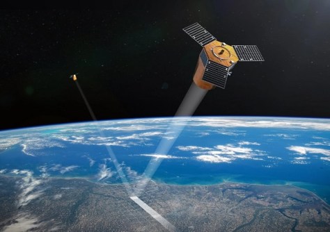
Formation flying
LiveEO says the satellites’ wide swath will be optimised for very high-resolution corridor mapping.
Having two satellites flying in formation will enable the collection and dissemination of stereo imagery for 3D analysis of, for instance, vegetation height along infrastructure corridors such as power lines or railways.
“As climate change increases the frequency and severity of extreme weather events such as wildfires and storms, managing vegetation along critical infrastructure is becoming more important than ever,” said Nora Meyer zu Erpen, Head of EO Data at LiveEO.
“Twinspector will significantly help scale the use of satellite-based insights for our customers.”
LiveEO says it should even be able to identify risks such as falling trees or excessive growth “before they become critical”.
On-board AI
Twinspector will also be employed for wide-area monitoring of infrastructure corridors, such as for spotting changes that take place during construction or excavation activity.
As is becoming more and more common, the spacecraft will have on-board AI capabilities enabled by multiple NVIDIA GPUs in each satellite with the aim of reducing latency in producing critical observations.
LiveEO says the design of the project will ensure “consistent revisit, supporting regular monitoring cycles for large infrastructure networks”.
The data produced will feed into the company’s analytics products.
As Spatial Source reported in December, LiveEO has its sights set on the Australian market, and has opened an office here that employs an engineer and a commercial lead.


