UP42 customers can now task Maxar’s satellite constellation and access very high-resolution imagery.
satellite imagery
-
The deal with an undisclosed defence and security operator is for near-daily, ultra-low...
2025-04-30
A new method more accurately defines areas of natural vegetation and agricultural production...2025-04-22
A new study highlights the accuracy of satellite-derived bathymetric datasets in coastal environments.2025-04-16
ADVERTISEMENTPlanet Labs will use Anthropic’s Claude large language model to analyse complex visual...2025-03-26
Lemu will add Wyvern imagery to its platform, while Wyvern will task excess...2025-03-18
The companies’ new partnership will give farmers across the world access to near-daily...2025-03-12
Kanyini’s first EO images have been released more than 200 days after the...2025-03-05
Maxar says its WorldView Legion fleet will provide up to 3.6m square km...2025-02-11
Planet’s SkySat imagery will sit alongside ESA’s Sentinel satellite data within the Copernicus...2025-02-04
Free Dragonette satellite imagery will be offered under the CC BY 4.0 creative...2025-02-04
Planet Labs’ latest high- and medium-resolution satellites are being prepared for launch in...2024-12-11
RMIT scientists have developed a satellite imagery spectral index for detecting plastics on...2024-10-31
Australia will benefit from the eased restrictions on electro-optical and radar remote sensing...2024-10-19
Maxar Intelligence has released images from the first two WorldView Legion satellites, featuring...2024-07-31
A new report lays bare the risks Australia faces from not having access...2024-04-15
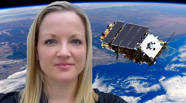
We’re celebrating women in the geospatial sector. Here we speak with satellite EO...2024-03-06
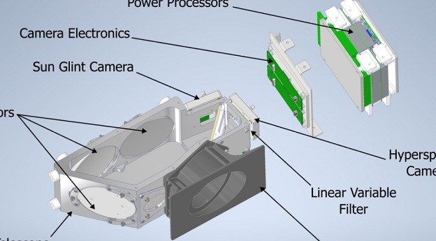
The CyanoSat payload’s novel imaging system is designed to spot dangerous algal outbreaks...2023-12-05
The federal government has selected ICEYE to supply flood and bushfire data for...2023-09-12
The funds will help the Australian firm scale into new markets and further...2023-05-22
Newsletter
Sign up now to stay up to date about all the news from Spatial Source. You will get a newsletter every week with the latest news.
© 2025 Spatial Source. All Rights Reserved.
Powered by WordPress. Designed by


