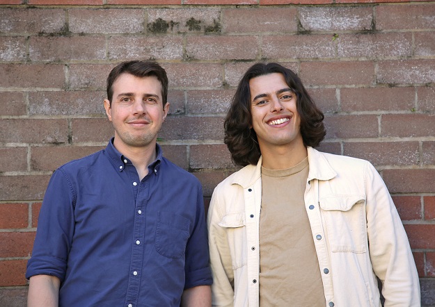
Arlula co-founders Sebastian Chaoui and Arran Salerno.
Australian space tech start-up Arlula has raised new investment funding of $2.2 million, which it will use to scale into new markets and further develop its Geostack Terra product.
The funding round was led by Main Sequence, Australia’s deep tech investment fund founded by CSIRO, with participation from Black Nova Venture Capital.
Arlula was co-founded by Sebastian Chaoui and Arran Salerno, an engineer and lawyer who met as students at UTS.
“Throughout my years working in the space industry, I realised that despite there being thousands of satellites monitoring the Earth’s surface, the data they were capturing was not being effectively operationalised and monetised,” said Chaoui.
“Arlula was founded with a mission to rapidly deliver comprehensive imagery and data, enabling businesses to make data-driven decisions faster than ever before.”
“We figured by applying a customer first approach we could build infrastructure to connect both sides of the market through new SaaS technology and a commercially accessible business model,” added Salerno.
The new funding will be used to scale into new markets and expand the capabilities of Arlula’s Geostack Terra platform, which has access to both live data and archive imagery dating as far back as the 1970s.
“Arlula’s innovation is a great example of space technology that is finding a market that private investors are willing to back while also delivering benefits to Australians here on Earth,” said Head of the Australian Space Agency, Enrico Palermo.


