

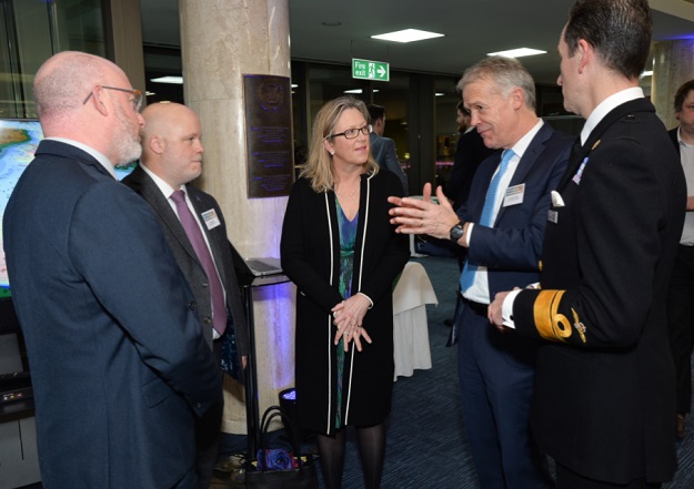
Andrew Colenutt (Maritime Coastguard Agency), David Parker (UKHO), Sally-Ann Hart (MP), John Dillon-Leetch (PLA) and RAdam Rhett Hatcher (UKHO) at the UKCSM Showcase Event. Crown copyright, OGL v3.0.
Seabed mapping will play a crucial role in helping protect the UK’s climate, oceans and coastal communities, according to Sally-Ann Hart, the UK Member of Parliament for Hastings and Rye.
Speaking at a recent UK Centre of Seabed Mapping (UK CSM) showcase event in London, Hart said building a community of maritime industry stakeholders that acquire, share and harness hydrographic data collaboratively, rather than working in isolation, was key to tackling climate change.
“Whatever we do to help protect and preserve our climate, our oceans and our coastal communities, it is clear that seabed mapping is a critical part of the infrastructure we need,” said Hart.
“To that end, the UK Centre for Seabed Mapping is an exciting step forward to better harness and coordinate the rich expertise within our nation.”
The UK CSM was launched in 2022 to enable UK government organisations involved in seabed mapping to build a community where members coordinate efforts to collect and share data.
Hart said that climate change was a significant threat to the UK’s economy and well-being that could, if not managed properly, lead to devastating consequences such as rising sea levels, more frequent and severe storms and increased temperatures. This would compromise the UK’s infrastructure, agriculture, health and security.
However, managing climate change was an untapped opportunity for economic growth in the UK, add Hart, who is Chair of the All Parliamentary Group for the Ocean (APPG), a group for parliamentarians to support and promote ocean research and awareness.
During her speech, Hart discussed some of the findings from the APPG’s ‘The Ocean: Turning the Tide on Climate Change’ report, which calls for the UK government to prioritise and facilitate investment in blue carbon and ocean-based initiatives to combat climate change.
The report makes several recommendations, such as including blue carbon habitat mapping within the UK’s Exclusive Economic Zone and creating a Minister for the Ocean to coordinate all ocean issues under one direct and exclusive ministerial responsibility.


