

The tests exposed the spacecraft to launch-like noise and vibrations, and assessed its ability to send signals.
blackshark.ai raises an extra US$15 million
By jnally on 20 November, 2023Series A round investment in the geospatial intelligence company now totals US$35 million.
WA Geospatial Excellence Award recipients
By jnally on 17 November, 2023A range of worthy individuals and groups have been presented with awards at a gala occasion in Perth.
AI can map icebergs 10,000 times faster
By jnally on 15 November, 2023A new neural network can rapidly and accurately chart large Antarctic icebergs in just 0.01 seconds.
How to Meet Photogrammetric Accuracy Standards
By SS Advertiser on 15 November, 2023Join Eric Andelin, Senior Workflow Specialist and Bill Johnson, Certified Photogrammetrist and Certified Mapping Scientist with DAS Geospatial as they discuss how these changes affect the mapping business and the deliverables we create
Space Command officer got his start with GPS
By jnally on 14 November, 2023Lieutenant Jason Wang tested a GPS unit for his electrical engineering thesis, sparking an interest in space.
Latest Geospatial News
View all
The geospatial community is mourning the loss of one of its most illustrious alumni, the Honourable Gary Nairn AO.
 2024-06-04
ADVERTISEMENT
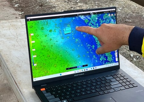
J2 Geospatial Intelligence Service is helping a WA wildlife sanctuary recover from cyclone-caused flood damage.
2024-06-04 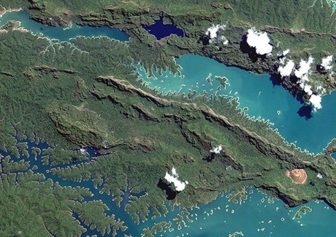
Japanese firm Axelspace’s Earth observation imagery is now integrated and available on Arlula’s platform.
2024-06-03 
Enrolments have opened for the IBSC-recognised hydrographic courses, which will commence in September 2024.
2024-06-03 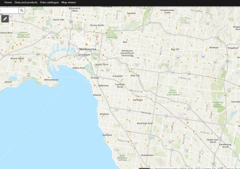
The operational version of the Digital Atlas of Australia has been launched following its Beta phase test period.
2024-05-30 
Matt Delano joins as Global Head of Sales – Laser Scanning and Nora Arendt as Global Head of Customer Experience.
2024-05-29
ADVERTISEMENT
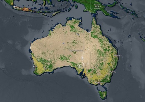
Annual 10m high-resolution maps are now available in Esri’s Living Atlas of the World for 2017–23.
2024-05-29 
- Sponsored Content
Aidedo was founded based on the practical experience of CEO Aiden Tong while studying and working with many Civil Engineering and Land Surveying firms in developed countries.
2026-06-02
The UK Hydrographic Office has appointed Blake to the position of interim Chief Executive and Accounting Officer.
2024-05-29 



Events
View All-
Nov 9
2026 Advancing Earth Observation Forum
 Hobart, Tasmania
-
Nov 10
SouthPAN Industry Day
Online -
Nov 13
South West and Great Southern Surveyors Conference
Mantra Bunbury Lighthouse, Bunbury, WA -
Nov 24
Locate26 Conference / 10th Digital Earth Summit
Melbourne Convention & Exhibition Centre -
Nov 30

