

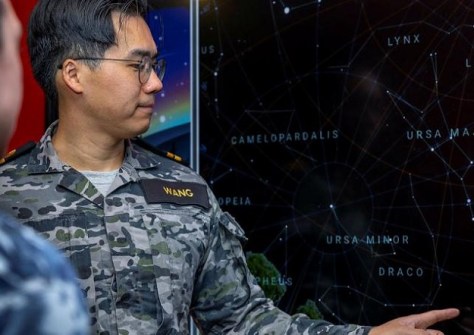
Orbiting hundreds of kilometres above the Earth is a tiny electronics chip designed by Australian Defence Force Lieutenant, Jason Wang.
Wang, an engineering officer, tested an experimental GPS unit for his thesis while studying electrical engineering, sparking his interest in space and eventually leading to a job working at Defence Space Command.
“It was one of the first Australian satellites to be put into orbit for decades,” Lieutenant Wang said. “Now there are satellites going up all the time but back then it was a pretty big deal.”
QB50 is a string of small, cube satellites in low-earth orbit designed to monitor the atmosphere. Each one has an experimental GPS unit for in-orbit navigation and remote sensing tests. Lieutenant Wang and his team were responsible for evaluating its in-space performance.
When Wang was first commissioned, there were few opportunities for Navy space professionals. Now, Defence is creating employment categories for space professionals that will make it easier for personnel from all three services to get involved.
The necessity to scale up the space-domain workforce was outlined in the Defence Strategic Review.
Currently, fewer than 200 personnel are in the predominantly Air Force-staffed Defence Space Command.
Lieutenant Wang path took a short notice posting to Defence Space Command working as a staff officer to Director General Space Operations, which gave him a foot in the door.
“There is a lot of energy in the Command to get things done,” Lieutenant Wang said.


