

In collaboration with Surveyor-General NSW, Surveyor-General Victoria (SGV) has completed the digital capture of the single-line representation of the Victoria-NSW border.
Efforts to improve the spatial representation of the border have been underway by SGV since 2013, with the work also forming part of an Intergovernmental Committee on Surveying and Mapping (ICSM) program to recapture coastlines, land borders and territorial sea baselines.
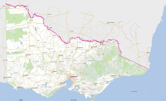
The border defines the legislative boundary between the two states, and serves as a foundation for governance, state relations and resource management.
Over the years, the accuracy of the border’s spatial representation has fallen out of date for reasons that include changing political, environmental and technological factors.
The course of the Murray River in 1851 was used as part of the original border boundary, but since the separation of the states in 1851, the course of the Murray has changed substantially.
The project to redefine the single-line representation of the border involved using modern techniques such as GNSS-based surveying, LiDAR measurements and high-resolution aerial imaging.
The improved spatial representation is due to be integrated into Vicmap later this year and will also contribute to the Vicmap Spatial Upgrade.


