

Toitū Te Whenua Land Information New Zealand (LINZ) has released its annual report for 2022–23, which details the organisation’s achievements and activities during that period.
A snapshot of some LINZ statistics for the year reveal:
- 3.2 million logins on Landonline, the platform for New Zealand’s property system.
- 3,283,424 property search products delivered through both Landonline and Land Record Search.
- 100,000-plus registered users of the LINZ Data Service, a source of publicly available data including aerial imagery, elevation data, topographic data, property boundaries and title information, place names, street addresses and roads, and Crown land and properties managed by Toitū Te Whenua.
- 1.2 million hectares of Crown pastoral land were administered in the iconic South Island high country, stretching from Marlborough Region to Southland Region.
- 8,000 properties previously managed by the Canterbury Earthquake Recovery Authority (CERA) and Toitū Te Whenua across Christchurch and Waimakariri were transferred to local councils, enabling local regeneration
- 5,500 complex land titles were reconfigured cross the Avon River/Ōtakaro Corridor as part of Christchurch earthquake regeneration work.
- 88% of the South Island’s West Coast and 80% of Canterbury in 3D mapping as part of the national LiDAR elevation project.
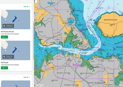
- 37 Electronic Navigational Charts were issued in a new edition or with new cells, and 78 more were updated.
- 11 geospatial datasets were made fit for national and local emergency management, a vital component of the Resilience and Climate Change Key Dataset Improvement Programme.
- Completion of an aerial laser survey that captured a high-resolution 3D map of Taranaki’s land surface, to be used in local environmental management and planning.
For further detail on these and other LINZ projects and initiatives, you can download a PDF of the annual report.


