

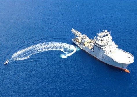
Royal New Zealand Navy (RNZN) dive and hydrographic vessel HMNZS Manawanui is conducting a seven-week deployment to the south-west Pacific, during which it will take part in a historic survey mission.
Once the ship arrives in Fiji, it will carry hydrographic surveyors from the Republic of Fiji Military Forces and the RNZN’s Littoral Support Unit, HMNZS Matataua, as they conduct two maritime surveys, one of which is in the Koro Sea east of Viti Levu island — a zone which was last surveyed in 1895.
Once the data has been processed ashore in the Fiji Hydrographic Office by the RNZN hydrographers and Fiji Navy personnel, it will be sent the UK Hydrographic Office for inclusion on charts.
The overall deployment, known as Operation Calypso, will also involve maritime security patrols, bomb disposal and community engagement activities during visits to Niue, Fiji and Vanuatu.
“For all of us, the Pacific is our neighbourhood and it’s always special to get out here and work with our friends on these tasks,” said the Commanding Officer of HMNZS Manawanui, Commander Yvonne Gray.
“Some of our crew hail from Pacific nations and so for them our deployments to the Pacific are a way for them to give something back to their communities.”


