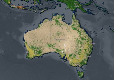
Esri, in partnership with Impact Observatory, has released an updated global land-use/land-cover map based on the most up to date 10-metre Sentinel-2 satellite data.
Esri developed its Sentinel-2 10-Meter Land Use/Land Cover Time Series with European Space Agency (ESA) Sentinel-2 imagery hosted on the Microsoft Planetary Computer and with machine learning workflows developed by Impact Observatory.
The update expands the global coverage time series data from 2017 to 2023.
“Users have the option to make year-over-year comparisons in global land cover today and into the future,” said Sean Breyer, Esri program manager for ArcGIS Living Atlas of the World.
“Organisations like national government resource agencies often must use this data to define land-planning priorities and determine budget allocations. With the Sentinel-2 annual updates, governments, businesses, and scientists can now more reliably make these data comparisons.”


