

Geoscience Australia’s Digital Atlas of Australia has moved out of the Beta phase following a successful period of user testing, during which there was continued growth in user demand as new data and features were made available.
The fully operational Digital Atlas of Australia was launched on 28 May by the federal Minister for Resources and Northern Australia, Madeleine King, and Geoscience Australia CEO, Dr James Johnson.
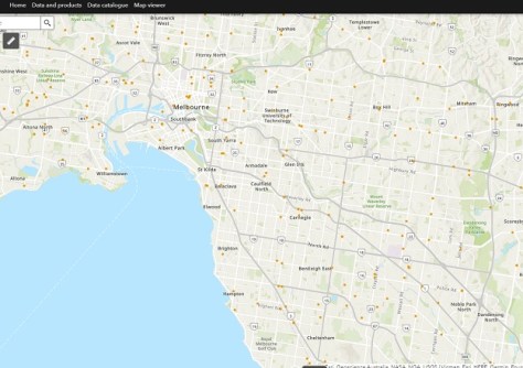
The Atlas brings together a range of ‘trusted national datasets’ from across government and presents them on an interactive online platform.
The Atlas is based upon an ‘Integrated Geospatial Infrastructure,’ and according to GA aims to connect data “across borders to transform and streamline how we connect, manage and use data. This infrastructure will move us from data swamps and silos to a digital ecosystem enabling seamless integration, sharing, and analysis of location data.”
The initiative was introduced as a result of two strategies outlined in the Federal Budget 2021–22 — the Digital Economy Strategy and Australian Data Strategy, which, together, aim to “transform Australia into a modern and leading digital economy by 2023 and focus on improving the accessibility and discoverability of the wealth of data held by Commonwealth organisations”.
In a statement issued in May 2021, Dr James Johnson, CEO of Geoscience Australia, said that the new platform “will embed analysis tools that allow anyone to explore, graph, analyse and compare information that meets their needs in their neighbourhood and across the country”.
“For example, a business will be able to explore and download demographic profiles of towns and regions, along with information on infrastructure, to determine the most commercially-viable places to set up new outlets, anywhere in Australia — making virtual design and planning possible without even having to visit the site.”
The Atlas groups data into a number of different themes:
- Administrative boundaries
- Buildings and settlements
- Land cover and land use
- Physical infrastructure
- Population distribution
- Transport and transport infrastructure
- Water bodies
Data will also be discoverable according to specific ‘initiatives,’ the first of which to be implemented was bushfire intelligence, bringing together a Historical Bushfires dataset and a range of interactive products to support bushfire research, national emergency management and risk management.
Final operating capability for the Atlas is due in mid-2025.
“The Digital Atlas of Australia offers a treasure trove of information, all in one place,” Minister King said. “The Digital Atlas can help identify opportunities for industries such as mining and agriculture by combining analysis of soil and geology, water bodies, and land use data.
“Using data from across government agencies, the Digital Atlas gives government comprehensive data to better understand and to respond to issues.”
Speaking to Spatial Source last year, Lisa Bush, National Location Information Branch Head at Geoscience Australia, said that “what we would really like to do at Geoscience Australia is identify and fill the gaps in our national foundation data to truly realise the potential of location-enabled decision-making for all Australians”.
“Developing the Digital Atlas came with its fair share of challenges, and among these, three significant hurdles come to mind,” said Bush. “Foremost, finding the right technology that can seamlessly handle interoperability and scalability to ensure the platform can grow and adapt with changing needs is essential.”
“Wrangling and harmonising the diverse range of data from a range of sources and critically assessing if they are fit for purpose is a big one,” Bush added. “What is currently available in the Digital Atlas is the best available, but we know it could be better. It could have more current and accurate data, and so we are focused on working with data producers and suppliers to get the right data, at the right quality and currency needed to support meaningful outcomes and, ultimately, leave no gaps in our foundation data.”
“Another major challenge lay in accommodating the needs of a diverse user base. Our aim was to create an accessible platform that caters to users with varying levels of geospatial experience. Striking a balance between providing information in a straightforward format for novices while also offering detailed metadata for geospatial experts was no small feat. It’s an intricate dance of simplicity and comprehensiveness that we will continue to choreograph.”
You can learn more about the Digital Atlas of Australia from the following video presentation:


