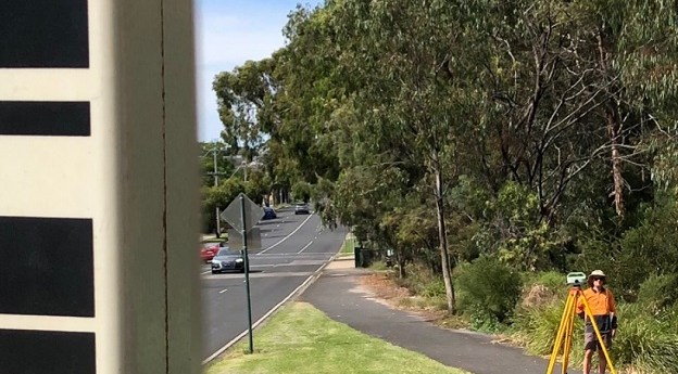
With a 10-year strategy well underway, Victoria is on track to deliver a...
Victoria
-
Digital Twin Victoria is seeking input from the geospatial sector to ensure the...
2025-01-15
The apology acknowledges the role that SGs played in the dispossession of First...2024-12-26
The two-year survey encompassed two-thirds of the state and comprised 197,217 kilometres of...2024-11-21
ADVERTISEMENTThe state government aims to ensure that 70% of all new commemorative place...2024-07-29
The new DEM covers 60% of Victoria and provides a 100x improvement in...2024-07-23
Datacom, Telstra and a 10-member consortium led by Veris have become DTV partners...2024-05-15
The apology acknowledges the role that SGs played in the dispossession of First...2024-04-17
The event will include updates from the Surveyor-General of Victoria and other industry...2024-01-30
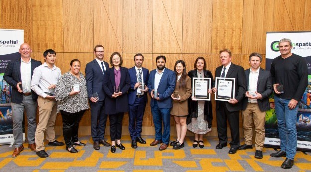
A wide range of Victorian individual and team geospatial efforts have been recognised...2023-09-19
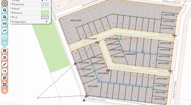
More than 30 surveying organisations created 324 ePlans using the Portal during the...2023-07-18
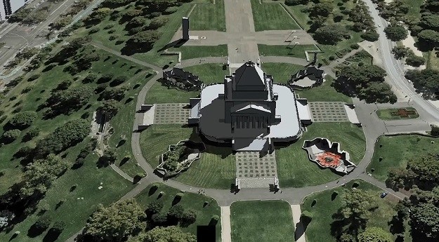
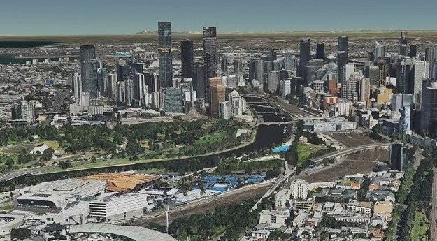
There’s now seamless online access to a 3D representation of Victoria’s 4 million...2023-05-29
Eddie Cichocki’s new role will see him help drive the state’s ambitious digital...2023-04-27
Craig Sandy outlines the many SGV and ICSM initiatives and activities in the...2023-04-25
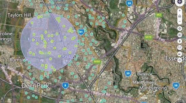
A line-of-sight tool and a spatial query tool have been added to the...2023-01-17
The requirements will support specification of survey control in contracts for major building...2022-12-14
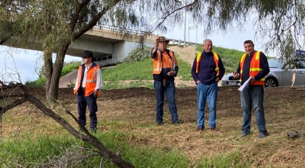
Experts from the SGV and NSW DCS Spatial Services spent a week locating...2022-10-13
The platform is part of a $37.4m Victorian Government investment in digital twin...2022-08-12
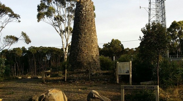
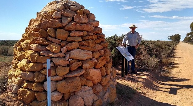
The 8m-high, mortared stone survey cairn was built in 1860 as part of...2022-07-29
The cairn was first erected over 170 years ago as part of the...2022-07-05
Newsletter
Sign up now to stay up to date about all the news from Spatial Source. You will get a newsletter every week with the latest news.
© 2025 Spatial Source. All Rights Reserved.
Powered by WordPress. Designed by


