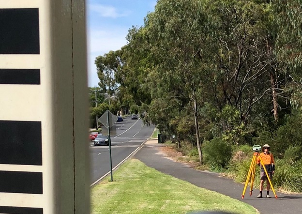
Levelling survey in Box Hill, Melbourne, to establish survey control mark infrastructure for the Suburban Rail Loop. Courtesy DELWP.
The Surveyor-General Victoria (SGV) Geodesy division has released new Victorian Survey Control requirements.
The requirements have been developed to support specification of survey control in contracts for major infrastructure and development projects in Victoria, and are intended to support ongoing surveying and spatial activities.
Adoption of the new requirements will ensure projects are completed in accordance with survey legislation and standards.
The requirements provide guidance to surveyors for maintaining and enhancing survey control mark infrastructure and information. General requirements are specified for:
- monumentation and distribution of survey control marks
- conduct of control surveys
- submission of data for integration in SGV-managed datasets
The availability of accurate, stable survey control marks is a vital part of surveying project activities, including:
- surveying property boundaries
- all phases of the project cycle from planning through to post-construction
- ongoing monitoring of movement
- future surveying and spatial activities
- alignment with other spatial information
- increased survey efficiency and reduced duplication of effort
The new requirements were prepared in collaboration with government and private industry.


