

Victoria’s Department of Transport and Planning has released a new suite of Vicmap 3D Buildings datasets through the Digital Twin Victoria (DTV) program.
The 3D digital representation brings together licensed and open datasets, including City of Melbourne and Geoscape, to create the comprehensive Vicmap 3D Buildings suite available in the DTV platform.
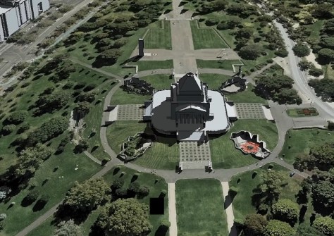
The range of datasets will give new audiences and existing users, seamless access to a 3D representation of all of Victoria’s 4 million built structures in one online resource.
According to the Department, “This data will help to improve decision-making by providing a trusted source of building outlines in major population centres across Victoria to inform planning, environmental, asset and risk management activities.”
“This includes analysis of buildings in the context of each other and environmental features, building heights and proximity to boundaries.”
One of the datasets is ‘Metro Block Buildings,’ a Vicmap product created with the help of machine-learning technologies. It presents highly accurate building data for 2.46 million properties and 2.68 million building features, covering more than 10,000 square kilometres across Melbourne and Geelong.
The machine-learning approach leverages Vicmap Imagery and elevation datasets to deliver building outlines faster and cheaper.
Vicmap will continue to work with partners across the State to extend coverage of the machine-learning product.
The Vicmap 3D Buildings suite aligns to the Building and Settlements data theme within the Australia and New Zealand Land Information Council (ANZLIC) Foundational Spatial Data Framework (FSDF).
The FSDF in turn aligns with the global United Nations (UN) Committee of Experts on Global Geospatial Information Management (UNGGIM) Building and Settlements theme. The UNGGIM’s themes recognise that critical spatial datasets that are necessary to support the UN’s Sustainable Development Goals.
The full suite of 2D and 3D buildings products can be accessed online. For queries, contact vicmap@delwp.vic.gov.au.


