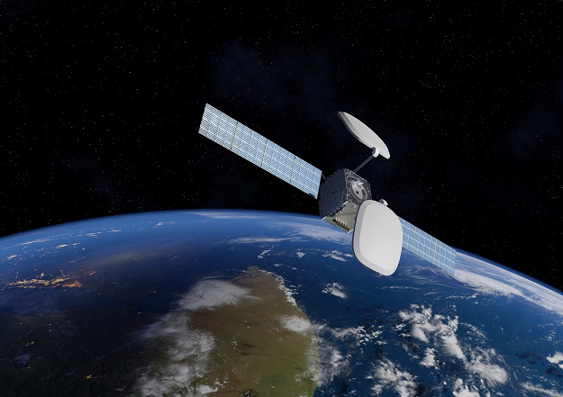
Artist’s impression of an Inmarsat I-8 satellite, based upon the SWISSto12 HummingSat platform. Courtesy SWISSto12.
Australia and New Zealand have signed a 20-year, $187.4 million contract with Inmarsat for the provision of the Southern Positioning Augmentation Network’s (SouthPAN) Satellite-Based Augmentation System (SBAS) signals from 2027.
The signals will be delivered by one of Inmarsat’s three new I-8 geostationary satellites, the first of which is due to launch in 2026.
SouthPAN is a partnership between Australia and New Zealand, led by Geoscience Australia and Toitū te Whenua Land Information New Zealand.
The system is intended to improve satellite-based positioning accuracy from metres at present, down to as little as 10 cm when the full system is up and running.
Early Open Services have been available since September 2022, with signals provided through the Inmarsat I-4 F1 commercial communications satellite.
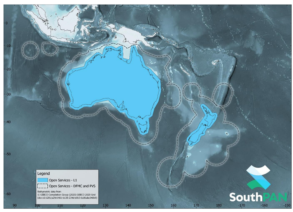
Map of SouthPAN’s Early Open Services coverage area. Courtesy Geoscience Australia.
According to Geoscience Australia, an additional as-yet-unspecified satellite service will also be procured in order to provide redundancy.
It is expected that SouthPAN will provide a huge boost to a wide range of industries that rely on accurate positioning, from transport to farming, building and surveying and many more.
It will also be certified as providing safety-of-life (SOL) precision for operations such as landing aircraft in poor visibility. SOL certification is currently scheduled for introduction in 2028.
“The new SouthPAN satellite service, along with SouthPAN’s ground infrastructure, will bring widespread benefits and a $6.2 billion economic injection to Australia alone, with the value anticipated to increase as new applications are developed,” said Alison Rose, Chief of Space Division at Geoscience Australia.
“These services are a core component of the SouthPAN system, which will provide resilience in our precise positioning capabilities, especially for those applications that require high-integrity services with sub-metre level accuracy to improve safety and efficiency.”
“SouthPAN represents extraordinary potential for the region. It can save lives by enabling precision safety tracking, help farmers improve productivity through automated device tracking, or even support transport management systems of the future,” added Todd McDonell, President, Inmarsat Global Government.
“We have a long history providing services for governments in the moments that matter most, and we are delighted that our Inmarsat-8 satellites will continue that legacy well into the 2040s.”
Inmarsat has contracted Switzerland-based firm SWISSto12 to develop the spacecraft, which will be based upon the latter’s HummingSat satellite platform. SWISSto12 will also leverage its 3D-printing capabilities and specialised radio frequency and other payload technologies.
The HummingSat platform is quite revolutionary, just 1.5 cubic metres in volume, with a form factor up to five times smaller than conventional geostationary satellites.
According to Inmarsat, the three l-8 satellites will provide an “extra layer of resilience” to complement its existing constellation… especially its two I-6-generation satellites, which were launched in December 2021 and February 2023.
“The I-8’s will not only underpin our existing capabilities for the future, but enable ever more advanced safety innovations like SBAS that can ultimately help save more lives,” said Peter Hadinger, Chief Technology Officer, Inmarsat. “We have chosen SWISSto12 because they have the ground-breaking technology that can make it a reality.”
“We are delighted that Inmarsat has selected SWISSto12 as its partner for its landmark l-8 program,” said Emile de Rijk, CEO, SWISSto12. “It demonstrates that, with HummingSat, we have created a highly-advanced new class of small geostationary spacecraft that delivers world-leading connectivity capabilities at a fraction of the cost.
“Our proprietary 3D printing of radio frequency payload technology allows us to push the limits of existing capability and service new and existing business cases for geostationary satellite communications.
“This is an important step in our journey to better connect and protect every corner of the world.”